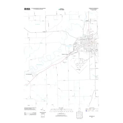
2013 Map of Seymour
USGS Topo · Published 2013About this map
The East Fork White River defines the landscape south of the city, winding through a complex system of drainage and small waterways. In this early 21st-century landscape, the large footprint of the Freeman Municipal Airport serves as a major waypoint south of the urban center, while smaller outlying communities like Rockford to the north and Cortland to the west maintain their distinct identities. The map reveals an intricate network of rural and suburban development, from the residential streets of Sunset Parkway to the crossings at Hangman Crossing. Water management is clearly a priority for the region, evidenced by the numerous named channels such as Beatty Walker Ditch, Von Fange Ditch, and Luther McDonald Ditch that crisscross the lowlands between the river and the various settlements. To the southwest, the terrain becomes less dense as it approaches the areas of New Elizabethtown and the creek known as Horse Lick.
Find a feature on this map
95 named features on this map. Tap any name to fly to it.
Don’t see what you’re looking for? This feature index may not catch every label — zoom into the map to look around manually.
Map Details
Editions of this 2013 Seymour Map
This is the sole edition of this map. No revisions or reprints were ever made.
Other maps of this area

1942 · Franklin
USGS Topo · 1:125,000

1942 · Columbus
USGS Topo · 1:125,000

1948 · Waymansville
USGS Topo · 1:24,000

1953 · Cincinnati
USGS Topo · 1:250,000

1953 · Indianapolis
USGS Topo · 1:250,000

1956 · Indianapolis
USGS Topo · 1:250,000

1956 · Vincennes
USGS Topo · 1:250,000

1956 · Louisville
USGS Topo · 1:250,000

1957 · Indianapolis
USGS Topo · 1:250,000

1957 · Vincennes
USGS Topo · 1:250,000