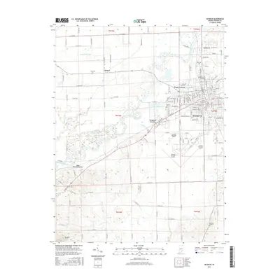
2016 Map of Seymour
USGS Topo · Published 2016About this map
The East Fork White River winds through this Jackson County landscape, anchoring a region defined by established agricultural drainage and early 21st-century infrastructure. The city of Seymour serves as the primary hub, where the L & I RR and CSX rail lines intersect amidst a dense street grid. Surrounding the urban center, smaller settlements like Rockford to the north and Cortland to the west maintain their distinct identities, connected by a network of rural roads and drainage projects such as Beatty Walker Ditch and Von Range Ditch.
Find a feature on this map
146 named features on this map. Tap any name to fly to it.
Don’t see what you’re looking for? This feature index may not catch every label — zoom into the map to look around manually.
Map Details
Editions of this 2016 Seymour Map
This is the sole edition of this map. No revisions or reprints were ever made.
Other maps of this area

1942 · Franklin
USGS Topo · 1:125,000

1942 · Columbus
USGS Topo · 1:125,000

1948 · Waymansville
USGS Topo · 1:24,000

1953 · Cincinnati
USGS Topo · 1:250,000

1953 · Indianapolis
USGS Topo · 1:250,000

1956 · Indianapolis
USGS Topo · 1:250,000

1956 · Vincennes
USGS Topo · 1:250,000

1956 · Louisville
USGS Topo · 1:250,000

1957 · Indianapolis
USGS Topo · 1:250,000

1957 · Vincennes
USGS Topo · 1:250,000