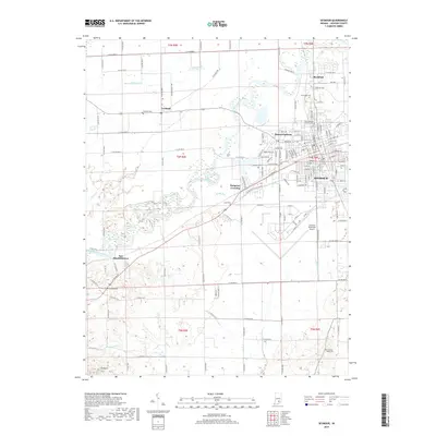
2019 Map of Seymour
USGS Topo · Published 2019About this map
Seymour serves as the central hub of this Jackson County landscape, where the CSX railroad and local street grid meet the meandering path of the East Fork White River. The river's winding oxbows and floodplain dominate the central corridor, influencing the placement of peripheral settlements like Rockford to the north and the curious label of Hangman Crossing to the west. The presence of Freeman Municipal Airport and multiple residential developments such as Sunset Parkway illustrate the modern expansion of the city footprint beyond its historical core.
Find a feature on this map
76 named features on this map. Tap any name to fly to it.
Don’t see what you’re looking for? This feature index may not catch every label — zoom into the map to look around manually.
Map Details
Editions of this 2019 Seymour Map
This is the sole edition of this map. No revisions or reprints were ever made.
Other maps of this area

1942 · Franklin
USGS Topo · 1:125,000

1942 · Columbus
USGS Topo · 1:125,000

1948 · Waymansville
USGS Topo · 1:24,000

1953 · Cincinnati
USGS Topo · 1:250,000

1953 · Indianapolis
USGS Topo · 1:250,000

1956 · Indianapolis
USGS Topo · 1:250,000

1956 · Vincennes
USGS Topo · 1:250,000

1956 · Louisville
USGS Topo · 1:250,000

1957 · Indianapolis
USGS Topo · 1:250,000

1957 · Vincennes
USGS Topo · 1:250,000