
1974 Map of Seymour
USGS Topo · Published 1977About this map
Seymour serves as the primary hub of this mid-1970s landscape, situated at the junction of the Green Bay and Western railroad and several county thoroughfares. The town's grid is clearly defined, featuring the High Sch, a Fairground, and Rock Ledge Park. This period shows a transition between the established agricultural townships of Lessor, Maple Grove, Cicero, and Seymour, and the eastern boundary of the Oneida Reservation Boundary.
Find a feature on this map
50 named features on this map. Tap any name to fly to it.
Don’t see what you’re looking for? This feature index may not catch every label — zoom into the map to look around manually.
Map Details
Editions of this 1974 Seymour Map
This is the sole edition of this map. No revisions or reprints were ever made.
Other maps of this area

1954 · De Pere
USGS Topo · 1:62,500

1954 · Green Bay
USGS Topo · 1:62,500

1955 · Appleton
USGS Topo · 1:62,500

1955 · Seymour
USGS Topo · 1:62,500

1955 · Green Bay
USGS Topo · 1:250,000

1974 · Zachow
USGS Topo · 1:24,000
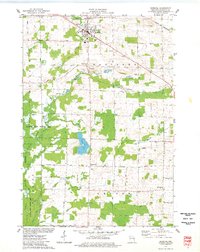
1974 · Bonduel
USGS Topo · 1:24,000
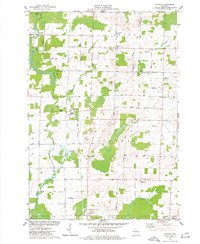
1974 · Nichols
USGS Topo · 1:24,000
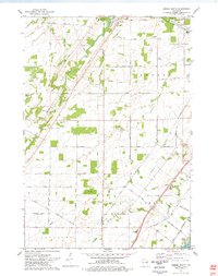
1974 · Oneida South
USGS Topo · 1:24,000
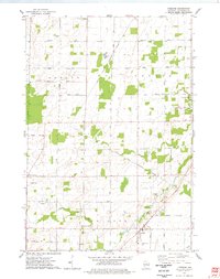
1974 · Freedom
USGS Topo · 1:24,000