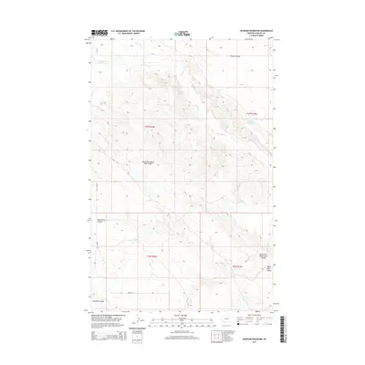
2014 Map of Seymour Reservoir
USGS Topo · Published 2014About this map
Rudolph Valley defines the northern reaches of this Phillips County landscape, where the prairie is carved by a network of drainage features. Water management is central to the area's geography, anchored by the Seymour Reservoir in the northeast and Bass Reservoir further south. These catchments, along with named drainages like Big Warm Cr and Wild Horse Cr, indicate the vital importance of water storage in this high plains environment. The terrain is further characterized by deep incisions such as North Fork White Rock Coulee and Lonesome Coulee. Local transportation is limited to established routes like Midale Rd and Ereaux Rd, which provide access through the vast grazing lands of north-central Montana.
Find a feature on this map
14 named features on this map. Tap any name to fly to it.
Don’t see what you’re looking for? This feature index may not catch every label — zoom into the map to look around manually.
Map Details
Editions of this 2014 Seymour Reservoir Map
This is the sole edition of this map. No revisions or reprints were ever made.
Other maps of this area

1953 · Havre
USGS Topo · 1:250,000

1954 · Jordan
USGS Topo · 1:250,000

1954 · Glasgow
USGS Topo · 1:250,000

1954 · Lewistown
USGS Topo · 1:250,000

1956 · Jordan
USGS Topo · 1:250,000

1957 · Glasgow
USGS Topo · 1:250,000

1957 · Havre
USGS Topo · 1:250,000

1958 · Glasgow
USGS Topo · 1:250,000

1958 · Jordan
USGS Topo · 1:250,000

1958 · Havre
USGS Topo · 1:250,000