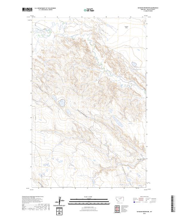
2024 Map of Seymour Reservoir
USGS Topo · Published 2024About this map
Rudolph Valley and the surrounding high plains of Phillips County define this 2024 topographic landscape. The map detail centers on water management and drainage across a sparsely populated region, anchored by Seymour Reservoir and Bass Reservoir. These catchments are vital to the local ranching economy, where seasonal water flow is managed through the winding course of Big Warm Creek. The terrain is deeply carved by numerous drainages, including the North Fork White Rock Coulee and Lonesome Coulee, showing the complex erosion patterns characteristic of the Montana plains. Access to these remote sections is maintained by a network of rural routes such as Midale Rd and the White Rock Access Rd, which serve the large townships and range blocks of this northern territory.
Find a feature on this map
14 named features on this map. Tap any name to fly to it.
Don’t see what you’re looking for? This feature index may not catch every label — zoom into the map to look around manually.
Map Details
Editions of this 2024 Seymour Reservoir Map
This is the sole edition of this map. No revisions or reprints were ever made.
Other maps of this area

1953 · Havre
USGS Topo · 1:250,000

1954 · Jordan
USGS Topo · 1:250,000

1954 · Glasgow
USGS Topo · 1:250,000

1954 · Lewistown
USGS Topo · 1:250,000

1956 · Jordan
USGS Topo · 1:250,000

1957 · Glasgow
USGS Topo · 1:250,000

1957 · Havre
USGS Topo · 1:250,000

1958 · Glasgow
USGS Topo · 1:250,000

1958 · Jordan
USGS Topo · 1:250,000

1958 · Havre
USGS Topo · 1:250,000