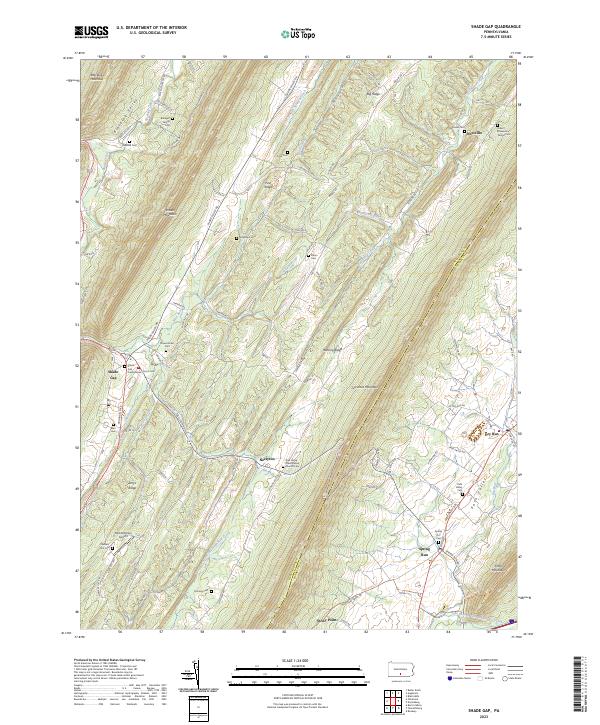
2023 Map of Shade Gap
USGS Topo · Published 2023About this map
Shade Gap and the surrounding Ridge-and-Valley province define this landscape where the borders of Huntingdon and Franklin counties meet. The topography is dominated by the massive parallel rises of Shade Mountain, Blacklog Mountain, and Tuscarora Mountain, which channel local movement and settlement into the narrow lowlands of Blacklog Valley and Path Valley. These valleys contain a deep concentration of genealogical markers, ranging from the Bolinger Family Cem in the north to the Jones / Chapman / Parson Cem near Nossville.
Find a feature on this map
90 named features on this map. Tap any name to fly to it.
Don’t see what you’re looking for? This feature index may not catch every label — zoom into the map to look around manually.
Map Details
Editions of this 2023 Shade Gap Map
This is the sole edition of this map. No revisions or reprints were ever made.
Other maps of this area

1919 · Mattawana
USGS Topo · 1:62,500

1922 · Mt Union
USGS Topo · 1:48,000

1923 · Shippensburg
USGS Topo · 1:62,500

1924 · Mt. Union
USGS Topo · 1:62,500

1936 · East Waterford
USGS Topo · 1:48,000

1939 · Orbisonia
USGS Topo · 1:62,500

1940 · Orbisonia
USGS Topo · 1:62,500

1941 · East Waterford
USGS Topo · 1:62,500

1943 · Shippensburg
USGS Topo · 1:62,500

1944 · Orbisonia
USGS Topo · 1:62,500