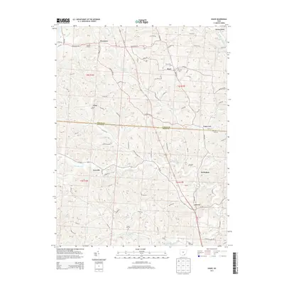
2013 Map of Shade
USGS Topo · Published 2013About this map
Pleasanton and Shade anchor the northern reaches of this rural landscape where the border between Athens Co and Meigs Co divides the terrain. The topography is defined by the winding paths of the Middle Br Shade River and W Br Shade River, along with numerous family-named landmarks that speak to the area's deep-rooted community history. Small clusters of development at Snowville, Burlingham, and Darwin are connected by a network of local routes like Darwin RD and Pleasanton RD. This modern survey reveals a high concentration of memorial sites, including the Jerseyville Cem and White Oak Cem, which are often the primary remaining evidence of early crossroads settlements. The presence of Rainbow Lake and Pratts Fork further illustrates the drainage patterns that have historically shaped land use and road placement in this part of southeastern Ohio.
Find a feature on this map
87 named features on this map. Tap any name to fly to it.
Don’t see what you’re looking for? This feature index may not catch every label — zoom into the map to look around manually.
Map Details
Editions of this 2013 Shade Map
This is the sole edition of this map. No revisions or reprints were ever made.
Other maps of this area

1903 · Athens
USGS Topo · 1:62,500

1904 · Chesterhill
USGS Topo · 1:62,500

1905 · Athens
USGS Topo · 1:62,500

1906 · Chesterhill
USGS Topo · 1:62,500

1907 · Pomeroy
USGS Topo · 1:62,500

1907 · Keno
USGS Topo · 1:62,500

1947 · Columbus
USGS Topo · 1:250,000

1949 · Clarksburg
USGS Topo · 1:250,000

1956 · Clarksburg
USGS Topo · 1:250,000

1960 · Albany
USGS Topo · 1:24,000