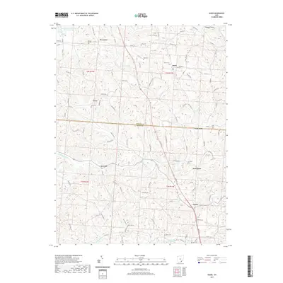
2019 Map of Shade
USGS Topo · Published 2019About this map
Pleasanton and Jerseyville sit amidst the dissected uplands of southern Ohio, where the landscape is defined by the branching drainages of the Middle Br Shade River and W Br Shade River. The area is marked by a high density of small family and community burial grounds, such as Pleasant Hill Cem and Jeffers Cem, which reflect the long-standing settlement patterns of the local townships. The boundary between Athens Co and Meigs Co bisects the quadrangle, passing through the community of Pratts Fork.
Find a feature on this map
104 named features on this map. Tap any name to fly to it.
Don’t see what you’re looking for? This feature index may not catch every label — zoom into the map to look around manually.
Map Details
Editions of this 2019 Shade Map
This is the sole edition of this map. No revisions or reprints were ever made.
Other maps of this area

1903 · Athens
USGS Topo · 1:62,500

1904 · Chesterhill
USGS Topo · 1:62,500

1905 · Athens
USGS Topo · 1:62,500

1906 · Chesterhill
USGS Topo · 1:62,500

1907 · Pomeroy
USGS Topo · 1:62,500

1907 · Keno
USGS Topo · 1:62,500

1947 · Columbus
USGS Topo · 1:250,000

1949 · Clarksburg
USGS Topo · 1:250,000

1956 · Clarksburg
USGS Topo · 1:250,000

1960 · Albany
USGS Topo · 1:24,000