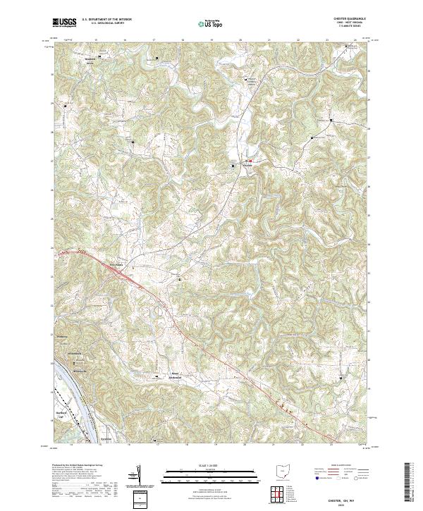
2023 Map of Shade
USGS Topo · Published 2023About this map
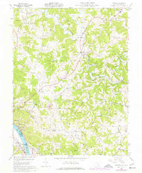
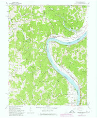
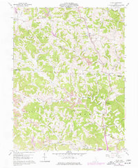
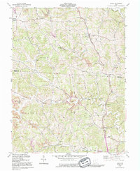
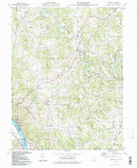
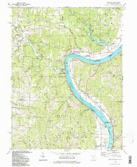
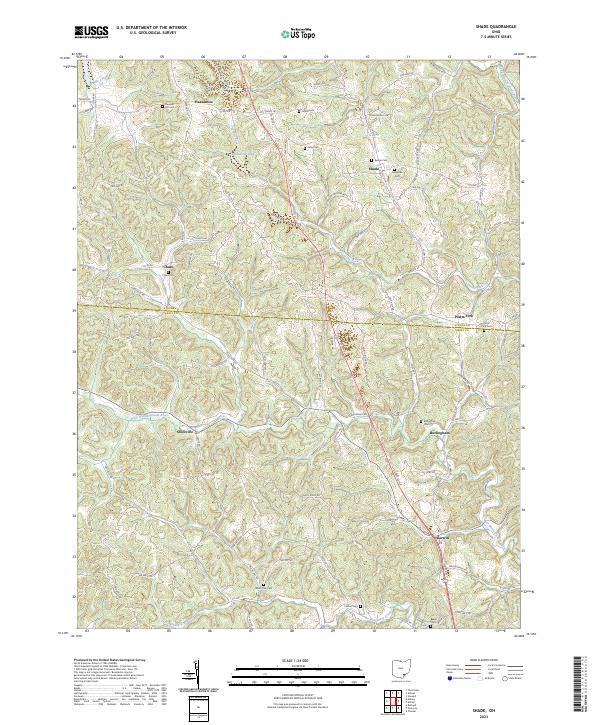
Pleasantanton and Shade anchor this survey of the boundary where Athens and Meigs counties meet. The landscape is defined by the winding course of the West Branch Shade River and its various tributaries, including Pratts Fork and Biddle Creek. This area of Ohio is characterized by a dense network of family-named cemeteries and rural crossroads, suggesting a long history of agricultural settlement. The topography is intricately detailed, showing the ridges and hollows that shaped local travel, such as Possum Hollow Rd and Helwig Ridge Rd. Smaller settlements like Snowville, Burlingham, and Darwin are connected by a web of township highways and county roads, while landmarks like Rainbow Lake and Chase Cem provide clear points of reference for local historians and genealogists tracing family roots in these townships.
Find a feature on this map
100 named features on this map. Tap any name to fly to it.
Don’t see what you’re looking for? This feature index may not catch every label — zoom into the map to look around manually.
Map Details
Editions of this 2023 Shade Map
This is the sole edition of this map. No revisions or reprints were ever made.
Historical Maps of Darwin Through Time
10 maps found