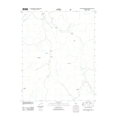
2012 Map of Shadequarter Mountain
USGS Topo · Published 2012About this map
Shadequarter Mountain and its surrounding peaks dominate this landscape in the southern Sierra Nevada foothills. The terrain is defined by the steep drainage basins of the N Fork Kaweah River and Eshom Cr, where elevations transition toward the high country of Sequoia National Park along the eastern boundary. The settlement of Eshom Valley is connected to the surrounding rugged geography via a network of local roads including Stagecoach Dr and Cemetery Dr, suggesting a history of early transit and ranching. Further south, the community of Advance sits near the confluence of the river and Bear Cr. Notable topographical landmarks such as Pattee Rocks, Shadequarter Lookout, and Becketts Backbone provide significant points of interest for those studying the physical layout and historical fire observation points of this Tulare County region.
Find a feature on this map
28 named features on this map. Tap any name to fly to it.
Don’t see what you’re looking for? This feature index may not catch every label — zoom into the map to look around manually.
Map Details
Editions of this 2012 Shadequarter Mountain Map
This is the sole edition of this map. No revisions or reprints were ever made.
Other maps of this area

1903 · Tehipite
USGS Topo · 1:125,000

1904 · Kaweah
USGS Topo · 1:125,000

1905 · Tehipite
USGS Topo · 1:125,000

1909 · Kaweah
USGS Topo · 1:125,000

1922 · Trimmer
USGS Topo · 1:96,000

1924 · Dinuba
USGS Topo · 1:125,000

1928 · Lemon Cove
USGS Topo · 1:31,680

1937 · Kaweah
USGS Topo · 1:125,000

1942 · Dunlap
USGS Topo · 1:62,500

1944 · Dunlap
USGS Topo · 1:62,500