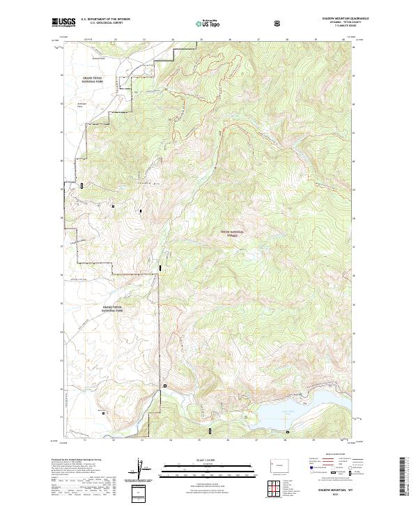
2021 Map of Shadow Mountain
USGS Topo · Published 2021About this map
Grand Teton National Park and the Teton National Forest converge in this high-altitude landscape dominated by the prominent Shadow Mtn. The eastern edge of the National Elk Refuge occupies the southern reaches, where the Snake River Headwaters Wild and Scenic River flows near the unique thermal waters of Kelly Warm Spring. This modern survey illustrates the complex boundary management between federal lands and the transition from the level Antelope Flats of Jackson Hole into the timbered ridges of the forest.
Find a feature on this map
49 named features on this map. Tap any name to fly to it.
Don’t see what you’re looking for? This feature index may not catch every label — zoom into the map to look around manually.
Map Details
Editions of this 2021 Shadow Mountain Map
This is the sole edition of this map. No revisions or reprints were ever made.
Other maps of this area

1899 · Grand Teton
USGS Topo · 1:125,000

1901 · Grand Teton
USGS Topo · 1:125,000

1902 · Mt Leidy
USGS Topo · 1:125,000

1955 · Driggs
USGS Topo · 1:250,000

1958 · Driggs
USGS Topo · 1:250,000

1962 · Driggs
USGS Topo · 1:250,000

1965 · Davis Hill
USGS Topo · 1:24,000

1965 · Mount Leidy
USGS Topo · 1:24,000
1965 · Grizzly Lake
USGS Topo · 1:24,000

1968 · Moose
USGS Topo · 1:24,000