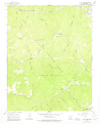
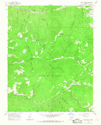
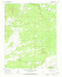
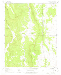
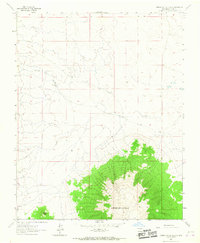
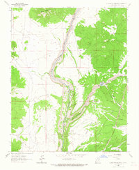
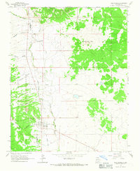
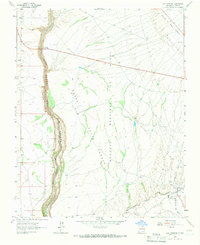
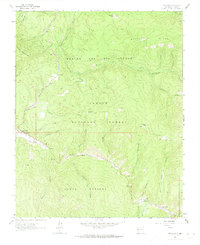
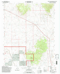
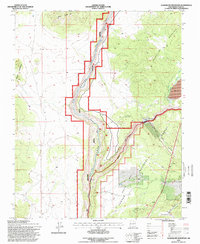
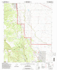
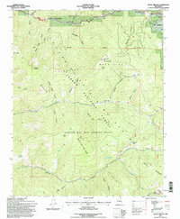
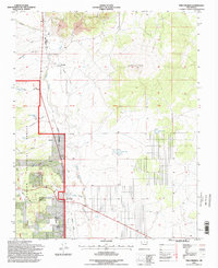
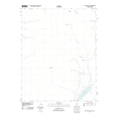
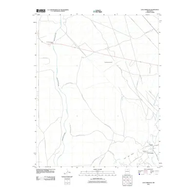
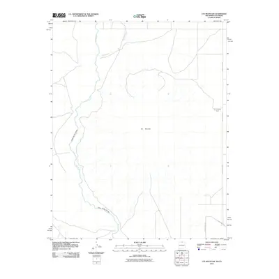
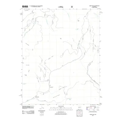
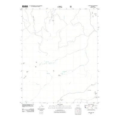
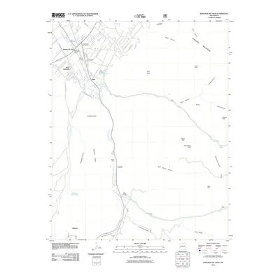
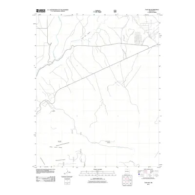
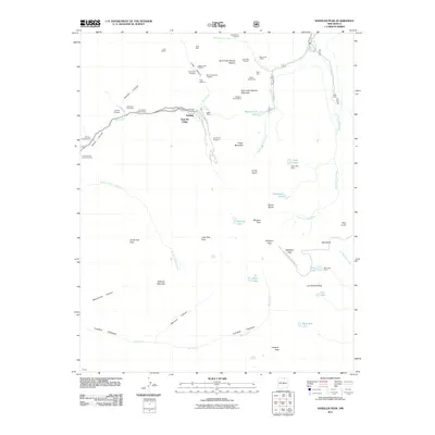
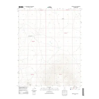
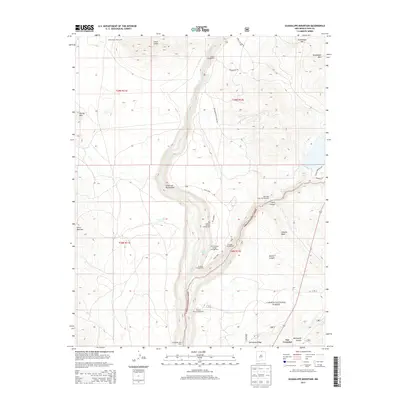
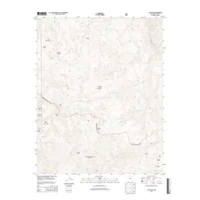
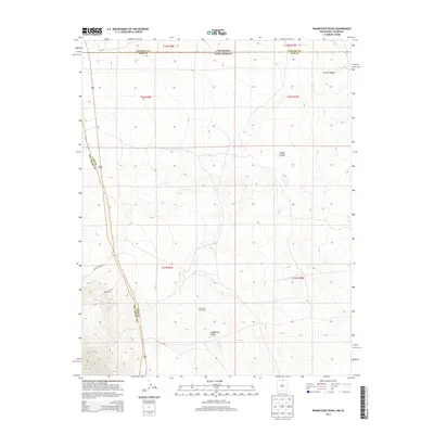
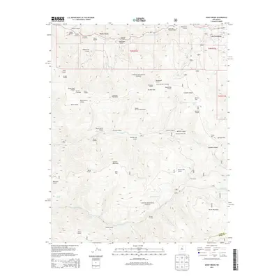
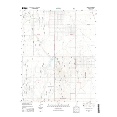
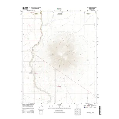
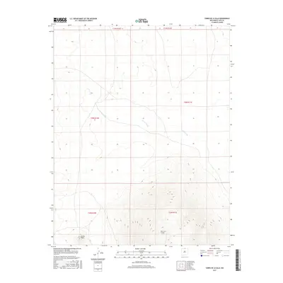
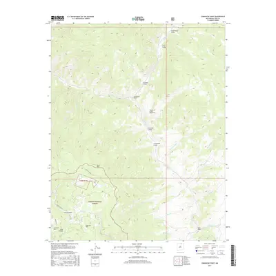
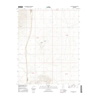
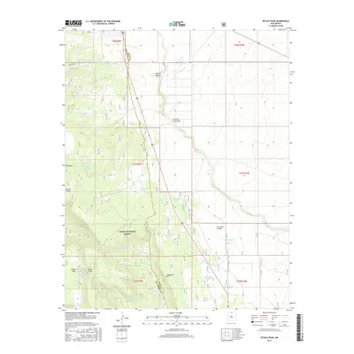
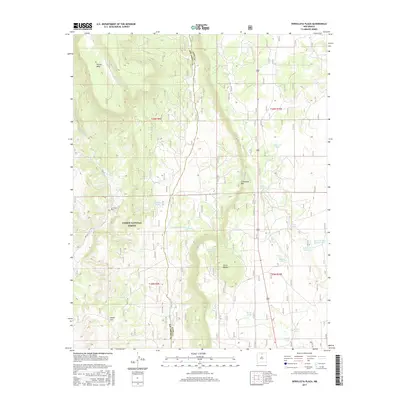
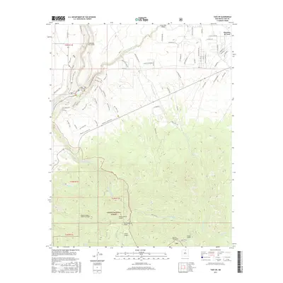
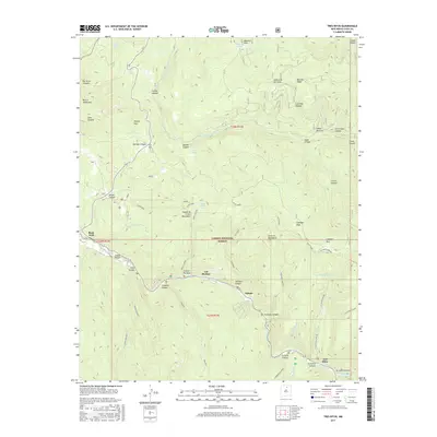
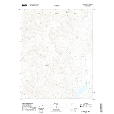
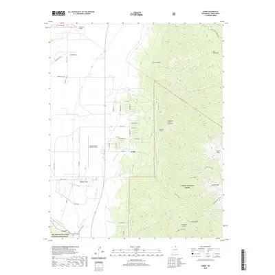
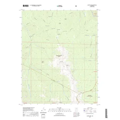
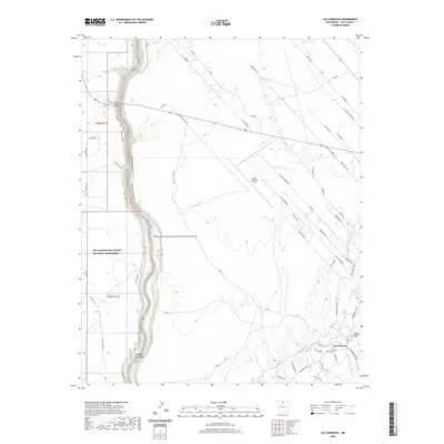
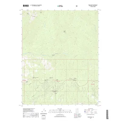
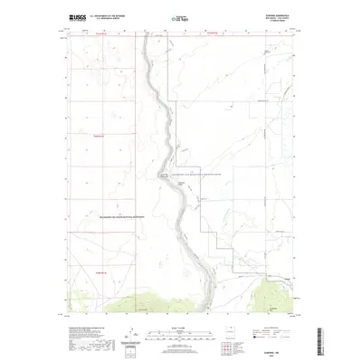
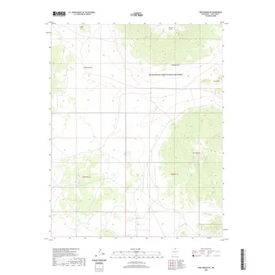
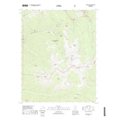
1965 Map of Shady Brook
USGS Topo · Published 1978About this map
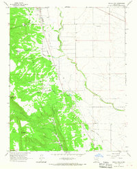
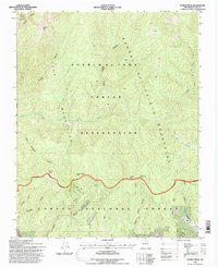
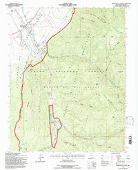
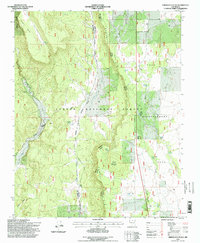
Rio Fernando de Taos cuts through the high Sangre de Cristo landscape, anchoring a network of canyons and forest roads in the mid-1960s. The settlement at Shady Brook and the development at Valle Escondido sit near the northern boundary, while the Carson National Forest and Rancho del Rio Grande land grant dominate the southern terrain. This survey captures a specific era of mountain recreation and ranching history, evidenced by Capulin Campground and numerous named canyons like Mondragon Canyon and Mascareñas Canyon that reflect local family heritage. The network of high-altitude drainages, including Rito de la Olla and Rito Quien Sabe, shows the complex hydrology of the Taos and Mora County border. Cultural landmarks such as a high-altitude Cem and Bernardin Lake provide specific points of interest for genealogists and local historians.
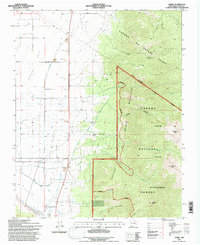
Find a feature on this map
43 named features on this map. Tap any name to fly to it.
Don’t see what you’re looking for? This feature index may not catch every label — zoom into the map to look around manually.
Map Details
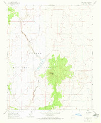
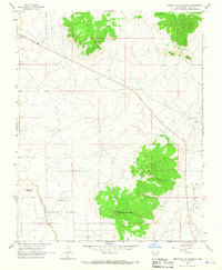
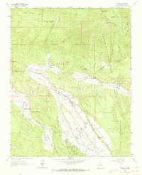
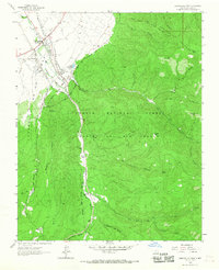
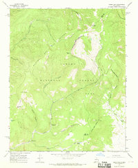
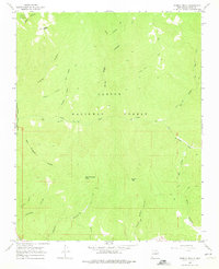
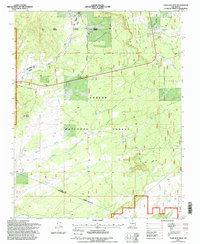
Editions of this 1965 Shady Brook Map
2 editions found
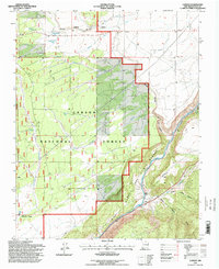
Historical Maps of Paradise Park Through Time
201 maps found
1960 Taos Junction
Taos County, NM
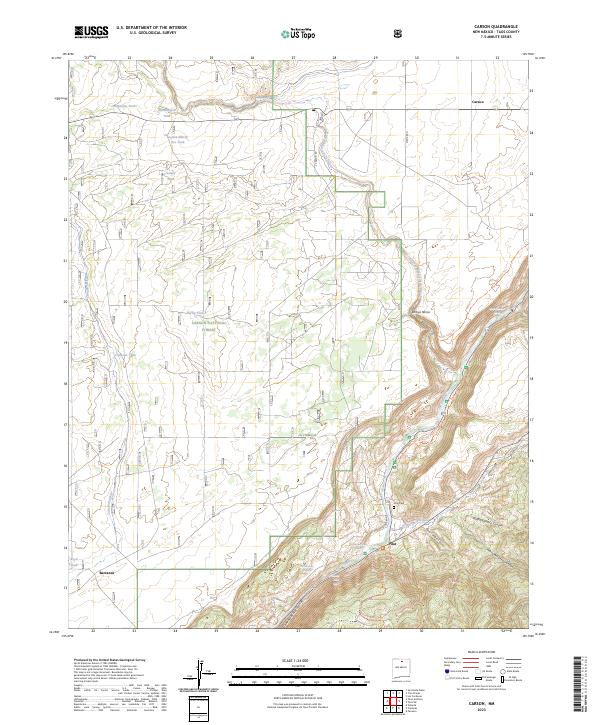
1961 Carson
Taos County, NM
1961 Servilleta Plaza
Taos County, NM
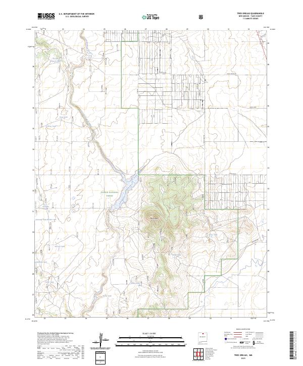
1961 Tres Orejas
Taos County, NM
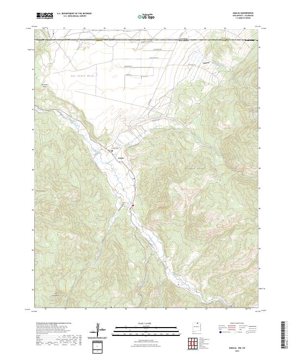
1963 Amalia
Taos County, NM
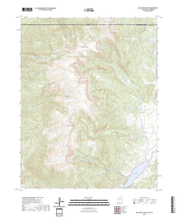
1963 Big Costilla Peak
Taos County, NM
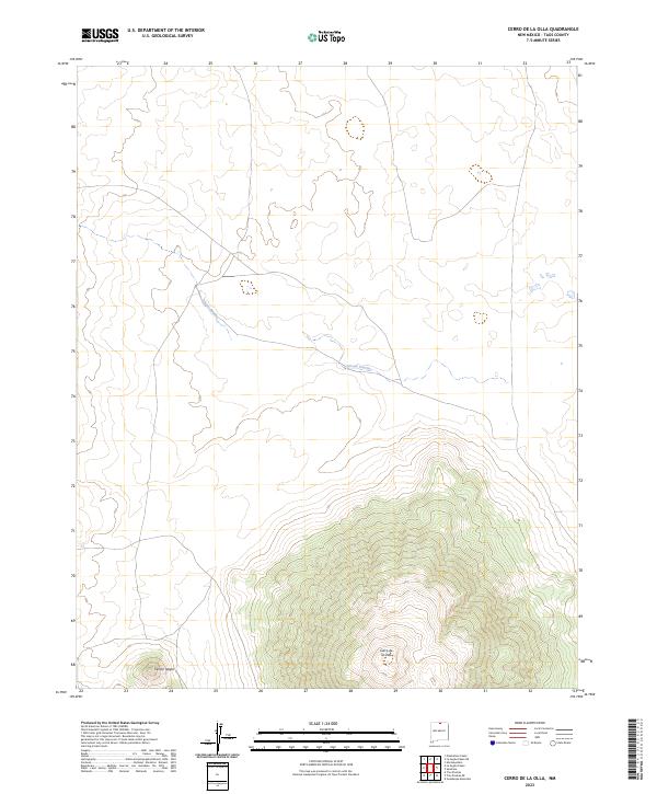
1963 Cerro De La Olla
Taos County, NM
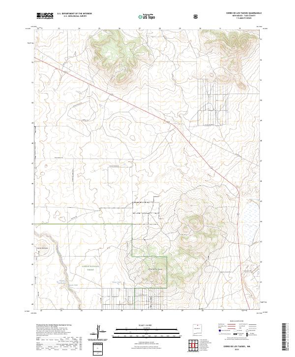
1963 Cerro De Los Taoses
Taos County, NM
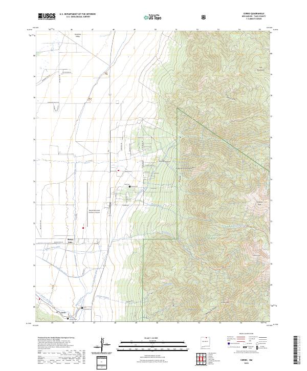
1963 Cerro
Taos County, NM
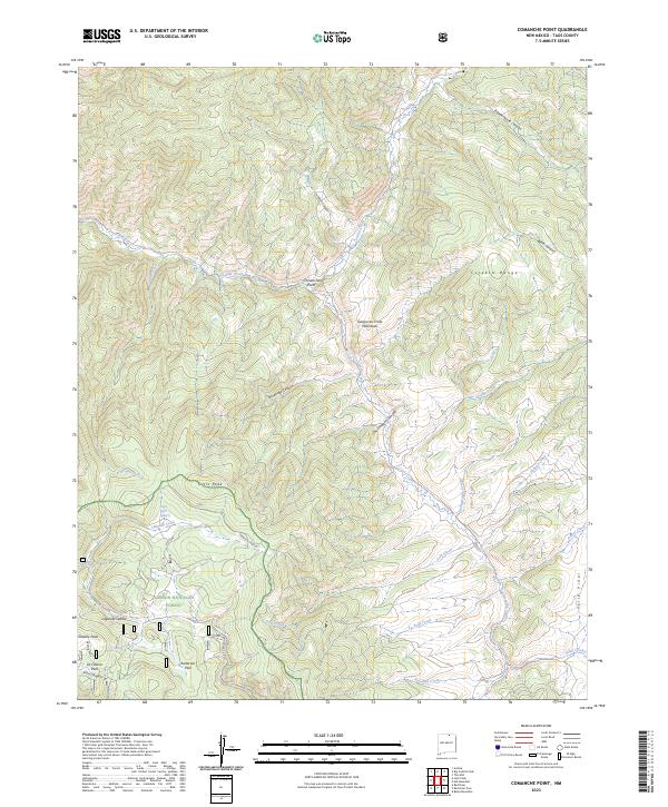
1963 Comanche Point
Taos County, NM
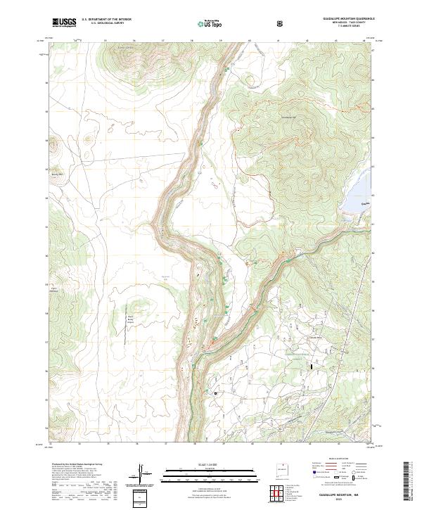
1963 Guadalupe Mountain
Taos County, NM
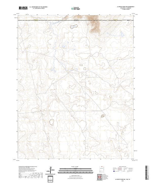
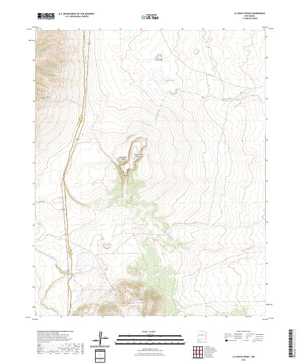
1963 La Segita Peaks NE
Taos County, NM
1963 La Segita Peaks
Taos County, NM
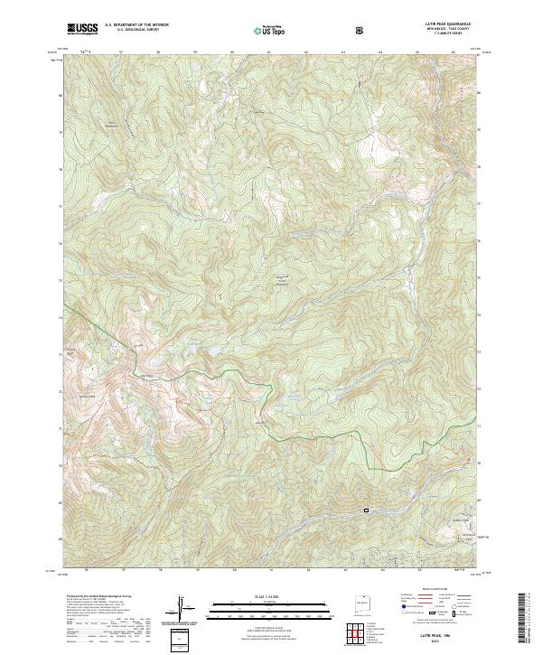
1963 Latir Peak
Taos County, NM
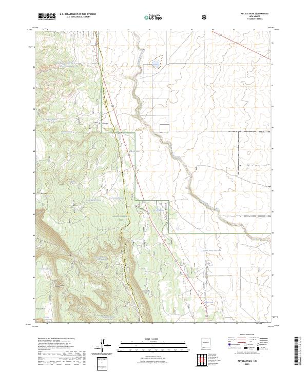
1963 Petaca Peak
Taos County, NM
1963 Pinabetoso Peaks
Taos County, NM
1963 Sunshine
Taos County, NM
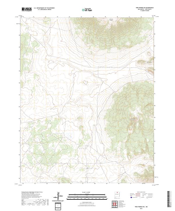
1963 Tres Piedras NE
Taos County, NM
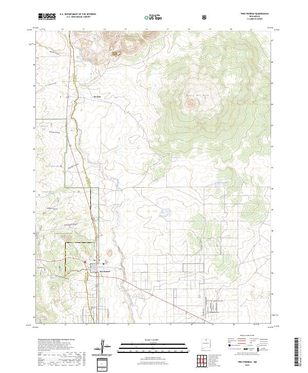
1963 Tres Piedras
Taos County, NM
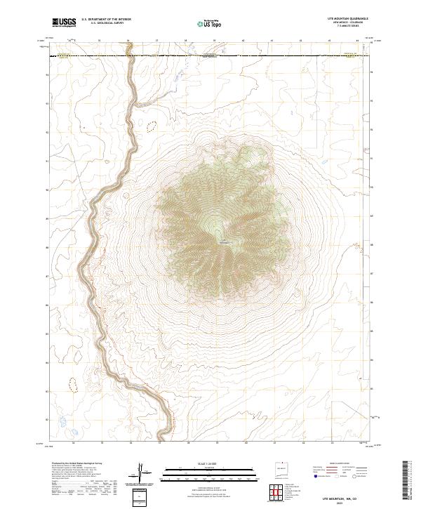
1963 Ute Mountain
Taos County, NM
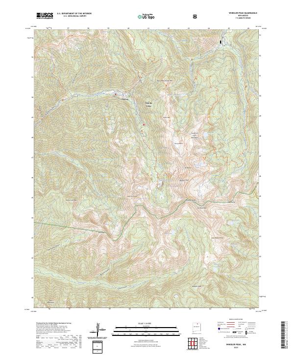
1963 Wheeler Peak
Taos County, NM
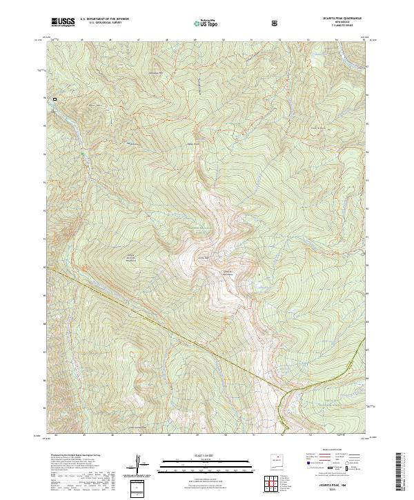
1964 Jicarita Peak
Taos County, NM
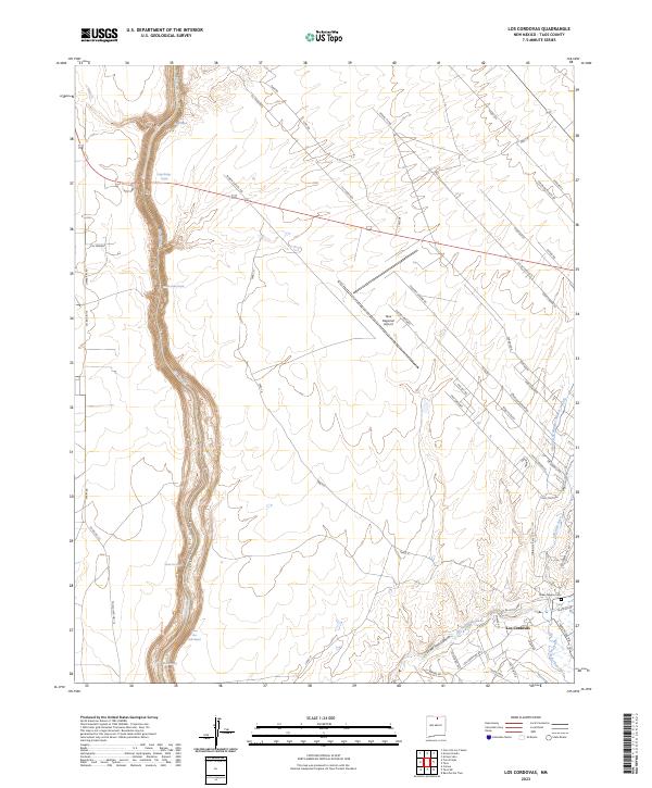
1964 Los Cordovas
Taos County, NM
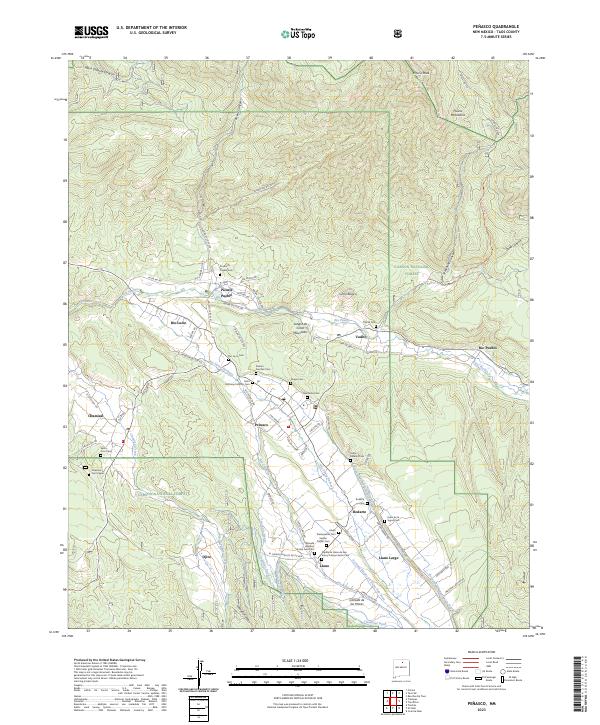
1964 Penasco
Taos County, NM
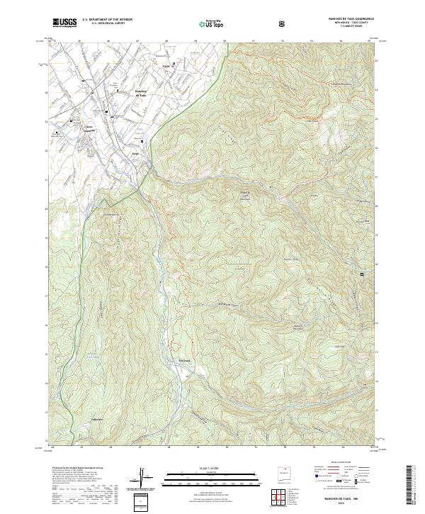
1964 Ranchos De Taos
Taos County, NM
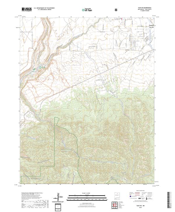
1964 Taos SW
Taos County, NM
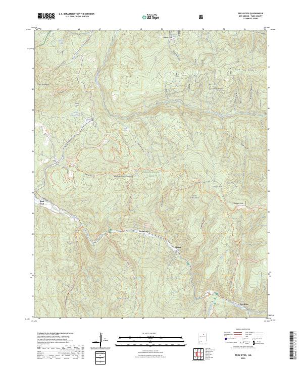
1964 Tres Ritos
Taos County, NM
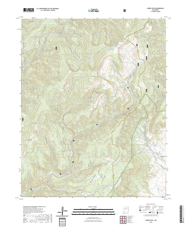
1965 Cerro Vista
Taos County, NM
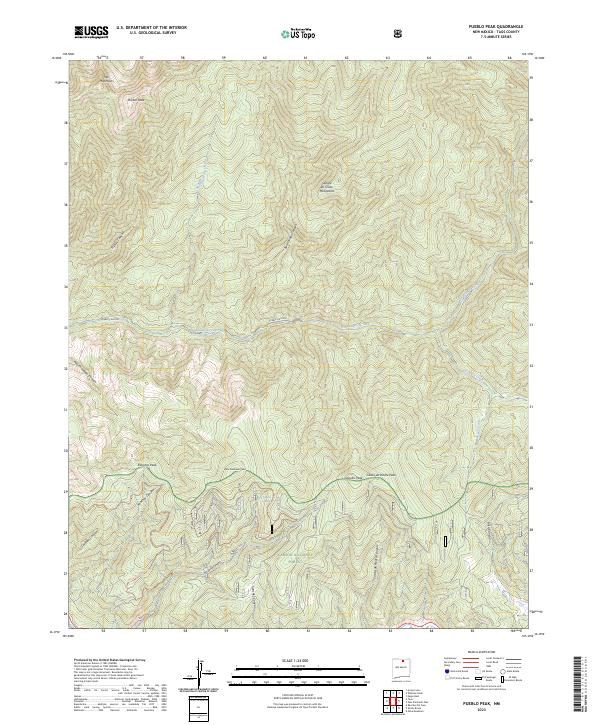
1965 Pueblo Peak
Taos County, NM
1965 Shady Brook
Taos County, NM

1982 Wheeler Peak
Taos County, NM
1995 Carson
Taos County, NM
1995 Cerro De Los Taoses
Taos County, NM
1995 Cerro
Taos County, NM
1995 Cerro Vista
Taos County, NM
1995 Comanche Point
Taos County, NM
1995 Guadalupe Mountain
Taos County, NM
1995 Jicarita Peak
Taos County, NM
1995 Latir Peak
Taos County, NM
1995 Penasco
Taos County, NM
1995 Petaca Peak
Taos County, NM
1995 Pueblo Peak
Taos County, NM
1995 Ranchos De Taos
Taos County, NM
1995 Servilleta Plaza
Taos County, NM
1995 Shady Brook
Taos County, NM
1995 Taos Junction
Taos County, NM
1995 Taos SW
Taos County, NM
1995 Tres Orejas
Taos County, NM
1995 Tres Piedras
Taos County, NM
1995 Tres Ritos
Taos County, NM
1995 Wheeler Peak
Taos County, NM
2010 Amalia
Taos County, NM
2010 Big Costilla Peak
Taos County, NM
2010 Cerro De La Olla
Taos County, NM
2010 La Segita Peaks NE
Taos County, NM
2010 La Segita Peaks
Taos County, NM
2010 Los Cordovas
Taos County, NM
2010 Pinabetoso Peaks
Taos County, NM
2010 Sunshine
Taos County, NM
2010 Tres Piedras NE
Taos County, NM
2010 Ute Mountain
Taos County, NM
2011 Carson
Taos County, NM
2011 Cerro De Los Taoses
Taos County, NM
2011 Cerro
Taos County, NM
2011 Cerro Vista
Taos County, NM
2011 Comanche Point
Taos County, NM
2011 Guadalupe Mountain
Taos County, NM
2011 Jicarita Peak
Taos County, NM
2011 Latir Peak
Taos County, NM
2011 Penasco
Taos County, NM
2011 Petaca Peak
Taos County, NM
2011 Pueblo Peak
Taos County, NM
2011 Ranchos De Taos
Taos County, NM
2011 Servilleta Plaza
Taos County, NM
2011 Shady Brook
Taos County, NM
2011 Taos Junction
Taos County, NM
2011 Taos SW
Taos County, NM
2011 Tres Orejas
Taos County, NM
2011 Tres Piedras
Taos County, NM
2011 Tres Ritos
Taos County, NM
2011 Wheeler Peak
Taos County, NM
2013 Amalia
Taos County, NM
2013 Big Costilla Peak
Taos County, NM
2013 Carson
Taos County, NM
2013 Cerro De La Olla
Taos County, NM
2013 Cerro De Los Taoses
Taos County, NM

2013 Cerro
Taos County, NM
2013 Cerro Vista
Taos County, NM
2013 Comanche Point
Taos County, NM
2013 Guadalupe Mountain
Taos County, NM
2013 Jicarita Peak
Taos County, NM
2013 La Segita Peaks NE
Taos County, NM
2013 La Segita Peaks
Taos County, NM
2013 Latir Peak
Taos County, NM
2013 Los Cordovas
Taos County, NM
2013 Penasco
Taos County, NM
2013 Petaca Peak
Taos County, NM
2013 Pinabetoso Peaks
Taos County, NM
2013 Pueblo Peak
Taos County, NM
2013 Ranchos De Taos
Taos County, NM
2013 Servilleta Plaza
Taos County, NM
2013 Shady Brook
Taos County, NM
2013 Sunshine
Taos County, NM
2013 Taos Junction
Taos County, NM
2013 Taos SW
Taos County, NM
2013 Tres Orejas
Taos County, NM
2013 Tres Piedras NE
Taos County, NM
2013 Tres Piedras
Taos County, NM
2013 Tres Ritos
Taos County, NM
2013 Ute Mountain
Taos County, NM
2013 Wheeler Peak
Taos County, NM

2017 Amalia
Taos County, NM
2017 Big Costilla Peak
Taos County, NM
2017 Carson
Taos County, NM
2017 Cerro De La Olla
Taos County, NM
2017 Cerro De Los Taoses
Taos County, NM
2017 Cerro
Taos County, NM
2017 Cerro Vista
Taos County, NM
2017 Comanche Point
Taos County, NM
2017 Guadalupe Mountain
Taos County, NM
2017 Jicarita Peak
Taos County, NM
2017 La Segita Peaks NE
Taos County, NM
2017 La Segita Peaks
Taos County, NM
2017 Latir Peak
Taos County, NM
2017 Los Cordovas
Taos County, NM
2017 Penasco
Taos County, NM
2017 Petaca Peak
Taos County, NM
2017 Pinabetoso Peaks
Taos County, NM
2017 Pueblo Peak
Taos County, NM
2017 Ranchos De Taos
Taos County, NM
2017 Servilleta Plaza
Taos County, NM
2017 Shady Brook
Taos County, NM
2017 Sunshine
Taos County, NM
2017 Taos Junction
Taos County, NM
2017 Taos SW
Taos County, NM
2017 Tres Orejas
Taos County, NM
2017 Tres Piedras NE
Taos County, NM
2017 Tres Piedras
Taos County, NM
2017 Tres Ritos
Taos County, NM
2017 Ute Mountain
Taos County, NM
2017 Wheeler Peak
Taos County, NM
2020 Amalia
Taos County, NM
2020 Big Costilla Peak
Taos County, NM
2020 Carson
Taos County, NM
2020 Cerro De La Olla
Taos County, NM
2020 Cerro De Los Taoses
Taos County, NM
2020 Cerro
Taos County, NM
2020 Cerro Vista
Taos County, NM
2020 Comanche Point
Taos County, NM
2020 Guadalupe Mountain
Taos County, NM
2020 Jicarita Peak
Taos County, NM
2020 La Segita Peaks NE
Taos County, NM
2020 La Segita Peaks
Taos County, NM
2020 Latir Peak
Taos County, NM
2020 Los Cordovas
Taos County, NM
2020 Penasco
Taos County, NM
2020 Petaca Peak
Taos County, NM
2020 Pinabetoso Peaks
Taos County, NM
2020 Pueblo Peak
Taos County, NM
2020 Ranchos De Taos
Taos County, NM
2020 Servilleta Plaza
Taos County, NM
2020 Shady Brook
Taos County, NM
2020 Sunshine
Taos County, NM
2020 Taos Junction
Taos County, NM
2020 Taos SW
Taos County, NM
2020 Tres Orejas
Taos County, NM
2020 Tres Piedras NE
Taos County, NM
2020 Tres Piedras
Taos County, NM
2020 Tres Ritos
Taos County, NM
2020 Ute Mountain
Taos County, NM
2020 Wheeler Peak
Taos County, NM
2023 Amalia
Taos County, NM
2023 Big Costilla Peak
Taos County, NM
2023 Carson
Taos County, NM
2023 Cerro De La Olla
Taos County, NM
2023 Cerro De Los Taoses
Taos County, NM
2023 Cerro
Taos County, NM
2023 Cerro Vista
Taos County, NM
2023 Comanche Point
Taos County, NM
2023 Guadalupe Mountain
Taos County, NM
2023 Jicarita Peak
Taos County, NM
2023 La Segita Peaks NE
Taos County, NM
2023 La Segita Peaks
Taos County, NM
2023 Latir Peak
Taos County, NM
2023 Los Cordovas
Taos County, NM
2023 Penasco
Taos County, NM
2023 Petaca Peak
Taos County, NM
2023 Pinabetoso Peaks
Taos County, NM
2023 Pueblo Peak
Taos County, NM
2023 Ranchos De Taos
Taos County, NM
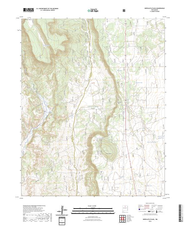
2023 Servilleta Plaza
Taos County, NM
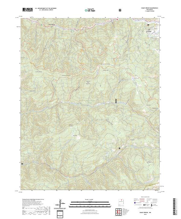
2023 Shady Brook
Taos County, NM
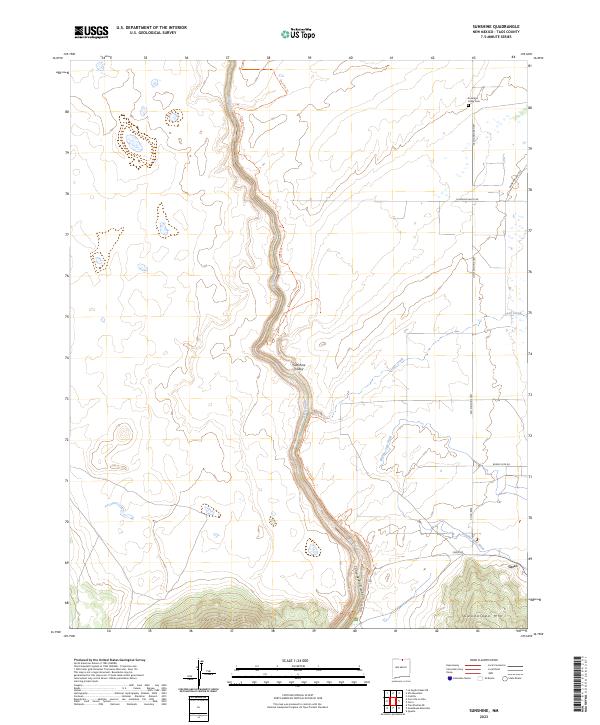
2023 Sunshine
Taos County, NM
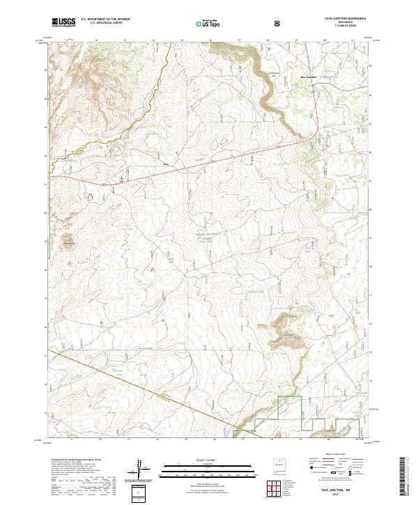
2023 Taos Junction
Taos County, NM
2023 Taos SW
Taos County, NM
2023 Tres Orejas
Taos County, NM
2023 Tres Piedras NE
Taos County, NM
2023 Tres Piedras
Taos County, NM
2023 Tres Ritos
Taos County, NM
2023 Ute Mountain
Taos County, NM
2023 Wheeler Peak
Taos County, NM