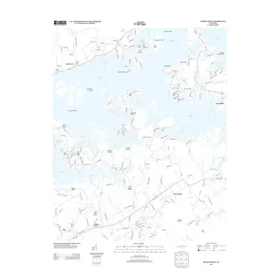
2013 Map of Shady Grove
USGS Topo · Published 2013About this map
Douglas Lake dominates this Tennessee landscape, its irregular shoreline creating a complex network of points and coves where several shoals and reefs remain named beneath the water. Early 21st-century settlement patterns are visible at Shady Grove, Old Egypt, and Sandy Ridge, where marinas like Shady Grove Dock and Inspiration Point Dock support a recreation-based economy. The map preserves several family-linked landmarks and traditional place names, including Patterson Hollow and Sugar Camp Hollow, alongside legacy burial grounds such as Holbert Cemetery. To the south, the terrain transitions into more defined ridges and valleys, marked by Little Mountain and the geological depression known as The Sink. This area around Fair Garden and Walnut Grove maintains a rural character defined by creeks like Hettie Cr and Flat Cr, illustrating the long-standing agricultural and residential footprint of this Jefferson County region.
Find a feature on this map
168 named features on this map. Tap any name to fly to it.
Don’t see what you’re looking for? This feature index may not catch every label — zoom into the map to look around manually.
Map Details
Editions of this 2013 Shady Grove Map
This is the sole edition of this map. No revisions or reprints were ever made.
Other maps of this area

1883 · Morristown
USGS Topo · 1:125,000

1886 · Knoxville
USGS Topo · 1:125,000

1892 · Knoxville
USGS Topo · 1:125,000

1893 · Mt Guyot
USGS Topo · 1:125,000

1893 · Morristown
USGS Topo · 1:125,000

1894 · Knoxville
USGS Topo · 1:125,000

1895 · Morristown
USGS Topo · 1:125,000

1895 · Knoxville
USGS Topo · 1:125,000

1897 · Maynardville
USGS Topo · 1:125,000

1900 · Maynardville
USGS Topo · 1:125,000