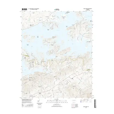
2016 Map of Shady Grove
USGS Topo · Published 2016About this map
Douglas Lake and its intricate shoreline dominate the northern landscape of this region where Jefferson and Sevier Counties meet. The flooding of the French Broad River valley created a complex geography of islands and shoals, including Henderson Island, Cawoods Shoal, and Nichols Reef. South of the lake, the terrain rises into the foothills of the Smokies, characterized by a dense network of hollows such as Boat Gunnel Hollow and Happy Hollow, and prominent heights like English Mtn and Little Mtn.
Find a feature on this map
171 named features on this map. Tap any name to fly to it.
Don’t see what you’re looking for? This feature index may not catch every label — zoom into the map to look around manually.
Map Details
Editions of this 2016 Shady Grove Map
This is the sole edition of this map. No revisions or reprints were ever made.
Other maps of this area

1883 · Morristown
USGS Topo · 1:125,000

1886 · Knoxville
USGS Topo · 1:125,000

1892 · Knoxville
USGS Topo · 1:125,000

1893 · Mt Guyot
USGS Topo · 1:125,000

1893 · Morristown
USGS Topo · 1:125,000

1894 · Knoxville
USGS Topo · 1:125,000

1895 · Morristown
USGS Topo · 1:125,000

1895 · Knoxville
USGS Topo · 1:125,000

1897 · Maynardville
USGS Topo · 1:125,000

1900 · Maynardville
USGS Topo · 1:125,000