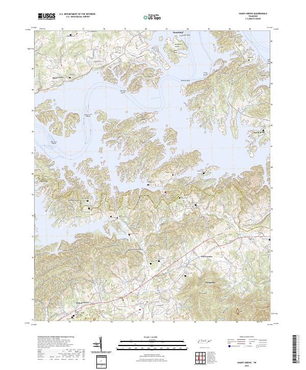
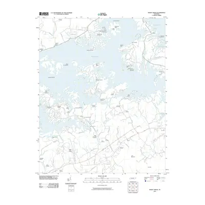
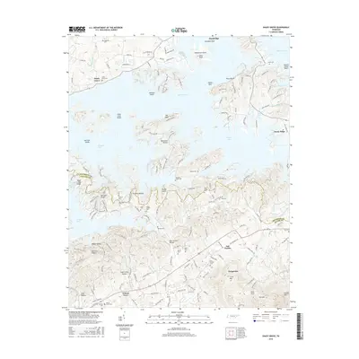
2022 Map of Shady Grove
USGS Topo · Published 2022About this map
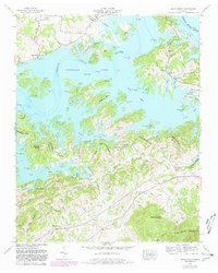
Douglas Lake dominates this landscape, its intricate shoreline creating a complex network of points and shoals such as Dentons Shoals and Alley Ford Shoals. The irregular waters trace the valleys between high points like Tater Knob and Henderson Island, reflecting the dramatic topographical changes caused by the impoundment of the French Broad River. Along the southern banks, the terrain rises toward the foothills of English Mtn, carved by numerous hollows including Boat Gunnel Hollow and Happy Hollow.
Find a feature on this map
136 named features on this map. Tap any name to fly to it.
Don’t see what you’re looking for? This feature index may not catch every label — zoom into the map to look around manually.
Map Details
Editions of this 2022 Shady Grove Map
This is the sole edition of this map. No revisions or reprints were ever made.
Historical Maps of Dandridge Through Time
18 maps found
1935 Clevenger
Jefferson County, TN
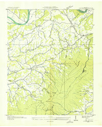
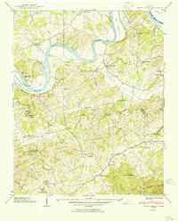
1935 Shady Grove
Jefferson County, TN

1935 Straw Plains
Jefferson County, TN
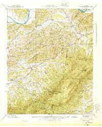
1939 Clevenger
Jefferson County, TN
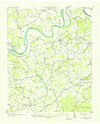
1939 Shady Grove
Jefferson County, TN
1940 Clevenger
Jefferson County, TN
1961 Chestnut Hill
Jefferson County, TN
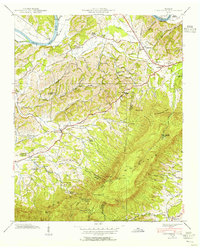
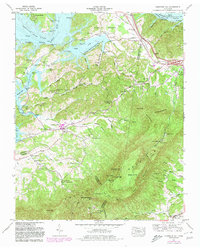
1961 Shady Grove
Jefferson County, TN

2010 Chestnut Hill
Jefferson County, TN
2010 Shady Grove
Jefferson County, TN
2013 Chestnut Hill
Jefferson County, TN
2013 Shady Grove
Jefferson County, TN
2016 Chestnut Hill
Jefferson County, TN
2016 Shady Grove
Jefferson County, TN
2019 Chestnut Hill
Jefferson County, TN
2019 Shady Grove
Jefferson County, TN
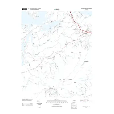
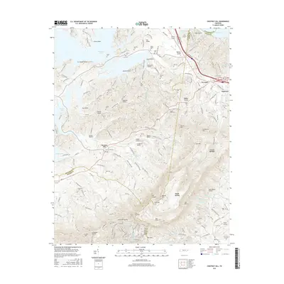
2022 Chestnut Hill
Jefferson County, TN
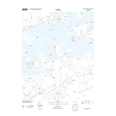
2022 Shady Grove
Jefferson County, TN