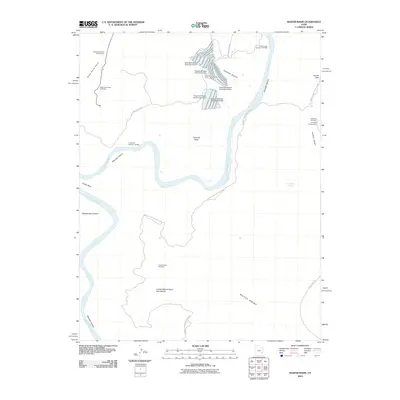
2010 Map of Shafer Basin
USGS Topo · Published 2010About this map
The dramatic loops of Meander Canyon and the Goose Neck anchor this map of the high desert plateau, where the Colorado River carves deeply through the red rock country. In the northern reaches, the industrial presence of the potash industry is evident through a series of evaporation structures, including the Texas Gulf Potash Pond One A Dam and its counterparts. These facilities mark a distinct human imprint alongside the geological grandeur of Shafer Basin.
Find a feature on this map
27 named features on this map. Tap any name to fly to it.
Don’t see what you’re looking for? This feature index may not catch every label — zoom into the map to look around manually.
Map Details
Editions of this 2010 Shafer Basin Map
This is the sole edition of this map. No revisions or reprints were ever made.
Other maps of this area

1885 · La Sal
USGS Topo · 1:250,000

1951 · The Knoll
USGS Topo · 1:62,500

1951 · Upheaval Dome
USGS Topo · 1:62,500

1952 · Carlisle 2 SE
USGS Topo · 1:24,000

1952 · Moab 3 SE
USGS Topo · 1:24,000

1952 · Carlisle 2 NE
USGS Topo · 1:24,000

1952 · Moab 4 SW
USGS Topo · 1:24,000

1954 · Carlisle 1 NE
USGS Topo · 1:24,000

1954 · Carlisle 1 SE
USGS Topo · 1:24,000

1954 · Carlisle 1 NW
USGS Topo · 1:24,000