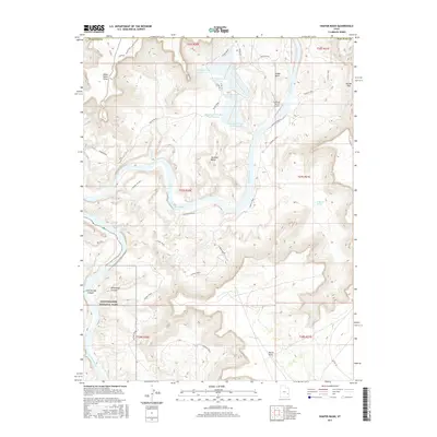
2017 Map of Shafer Basin
USGS Topo · Published 2017About this map
The Colorado River carves a massive, winding path through this corner of San Juan County, defining the stark topography of the Shafer Basin and Lockhart Basin. The landscape is a study in industrial and natural coexistence, where the large-scale solar evaporation cells of the potash industry, such as TexasGulf Potash Pond One A and TexasGulf Potash Pond Three B, sit adjacent to the protected wilderness of Canyonlands National Park.
Find a feature on this map
33 named features on this map. Tap any name to fly to it.
Don’t see what you’re looking for? This feature index may not catch every label — zoom into the map to look around manually.
Map Details
Editions of this 2017 Shafer Basin Map
This is the sole edition of this map. No revisions or reprints were ever made.
Other maps of this area

1885 · La Sal
USGS Topo · 1:250,000

1951 · The Knoll
USGS Topo · 1:62,500

1951 · Upheaval Dome
USGS Topo · 1:62,500

1952 · Carlisle 2 SE
USGS Topo · 1:24,000

1952 · Moab 3 SE
USGS Topo · 1:24,000

1952 · Carlisle 2 NE
USGS Topo · 1:24,000

1952 · Moab 4 SW
USGS Topo · 1:24,000

1954 · Carlisle 1 NE
USGS Topo · 1:24,000

1954 · Carlisle 1 SE
USGS Topo · 1:24,000

1954 · Carlisle 1 NW
USGS Topo · 1:24,000