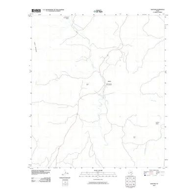
2010 Map of Shafter
USGS Topo · Published 2010About this map
Shafter serves as the focal point of this Chihuahuan Desert landscape, situated along the drainage of Cibolo Creek. The area’s deep industrial roots are evidenced by the Shafter Mine and the surrounding Shafter Historic Mining District, which reflect the region's legacy of silver extraction. Cultural and architectural heritage is well-represented by the El Fortin del Cibolo Historic District to the north and the La Morita Historic District in the southeast, marking points of early settlement and defense.
Find a feature on this map
10 named features on this map. Tap any name to fly to it.
Don’t see what you’re looking for? This feature index may not catch every label — zoom into the map to look around manually.
Map Details
Editions of this 2010 Shafter Map
This is the sole edition of this map. No revisions or reprints were ever made.
Other maps of this area

1896 · Shafter
USGS Topo · 1:125,000

1959 · Presidio
USGS Topo · 1:250,000

1965 · Presidio
USGS Topo · 1:250,000

1978 · La Boquilla
USGS Topo · 1:24,000
1979 · Chinati Peak
USGS Topo · 1:24,000

1980 · Arroyo Melado
USGS Topo · 1:24,000

1983 · Shafter
USGS Topo · 1:24,000

1983 · Cienega Mountains
USGS Topo · 1:24,000
1983 · Cerros Prietos
USGS Topo · 1:24,000
1983 · Cieneguita
USGS Topo · 1:24,000