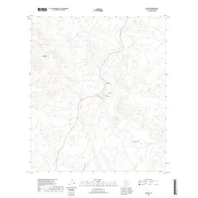
2019 Map of Shafter
USGS Topo · Published 2019About this map
Shafter is the focal point of this survey, situated along the banks of Cibolo Cr in the high desert of West Texas. The settlement’s footprint is defined by a sparse network of roads, including Upper Shafter Rd and Brazo Rd, which navigate the winding watercourses and sharp elevation changes of the surrounding terrain. To the west, the massive slopes of the Chinati Mountains dominate the horizon, while the isolated peak of Cerro Tren rises to the southeast near Morita Cr.
Find a feature on this map
11 named features on this map. Tap any name to fly to it.
Don’t see what you’re looking for? This feature index may not catch every label — zoom into the map to look around manually.
Map Details
Editions of this 2019 Shafter Map
This is the sole edition of this map. No revisions or reprints were ever made.
Other maps of this area

1896 · Shafter
USGS Topo · 1:125,000

1959 · Presidio
USGS Topo · 1:250,000

1965 · Presidio
USGS Topo · 1:250,000

1978 · La Boquilla
USGS Topo · 1:24,000
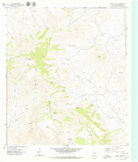
1979 · Chinati Peak
USGS Topo · 1:24,000

1980 · Arroyo Melado
USGS Topo · 1:24,000

1983 · Shafter
USGS Topo · 1:24,000

1983 · Cienega Mountains
USGS Topo · 1:24,000
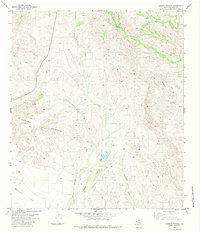
1983 · Cerros Prietos
USGS Topo · 1:24,000
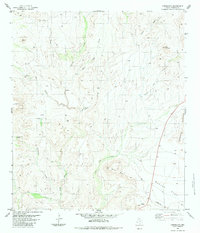
1983 · Cieneguita
USGS Topo · 1:24,000