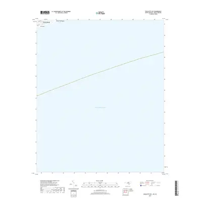
2019 Map of Shallotte OE S
USGS Topo · Published 2019About this map
Sunset Beach and Ocean Isle Beach occupy a thin sliver of coastal land along the northern edge of this maritime sheet, where the barrier islands meet the Atlantic Ocean. The topography is dominated by the narrow channel of Tubbs Inlet, which separates the two developed beach communities and connects Long Bay to the open sea. Inland navigation is marked by local roads like N Shore Dr and Main St E, providing a clear record of the shoreline development before later decades of storm activity and shifting sands. South of Bald Beach, the map transition into the open waters of the Atlantic, documenting the precise bathymetric and coastal boundary lines used by the Geological Survey during this late 2010s update.
Find a feature on this map
8 named features on this map. Tap any name to fly to it.
Don’t see what you’re looking for? This feature index may not catch every label — zoom into the map to look around manually.
Map Details
Editions of this 2019 Shallotte OE S Map
This is the sole edition of this map. No revisions or reprints were ever made.
Other maps of this area

1943 · Little River
USGS Topo · 1:31,680

1943 · Calabash
USGS Topo · 1:31,680

1943 · Holden Beach
USGS Topo · 1:24,000

1943 · Shallotte
USGS Topo · 1:24,000

1944 · Shallotte
USGS Topo · 1:31,680

1949 · Georgetown
USGS Topo · 1:250,000
1950 · Shallotte
USGS Topo · 1:25,000
1953 · Little River
USGS Topo · 1:24,000
1953 · Calabash
USGS Topo · 1:24,000

1967 · Georgetown
USGS Topo · 1:250,000