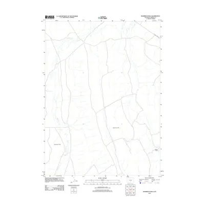
2012 Map of Shamrock Hills
USGS Topo · Published 2012About this map
Separation Cr winds through this arid stretch of Carbon County, marking the drainage patterns of a landscape defined by the Shamrock Hills. The map captures a transition between the expansive Separation Flats and the elevated terrain to the east. Human presence is primarily represented by utility and industrial infrastructure, most notably the Oil Road To Mines Rd in the northeast corner. This road indicates the region's historical and ongoing connection to resource extraction. Apart from the natural features like Willow Draw, the area remains largely undeveloped, showcasing the open range typical of the Wyoming high desert as it was documented in the early 2010s.
Find a feature on this map
5 named features on this map. Tap any name to fly to it.
Don’t see what you’re looking for? This feature index may not catch every label — zoom into the map to look around manually.
Map Details
Editions of this 2012 Shamrock Hills Map
This is the sole edition of this map. No revisions or reprints were ever made.
Other maps of this area

1954 · Rawlins
USGS Topo · 1:250,000

1955 · Casper
USGS Topo · 1:250,000

1956 · Rawlins Peak
USGS Topo · 1:62,500

1958 · Rawlins
USGS Topo · 1:250,000

1958 · Casper
USGS Topo · 1:250,000

1960 · Separation Rim
USGS Topo · 1:24,000

1960 · Bull Springs
USGS Topo · 1:24,000

1960 · Buck Draw
USGS Topo · 1:24,000

1960 · Boggy Meadows
USGS Topo · 1:24,000

1962 · Rawlins
USGS Topo · 1:250,000