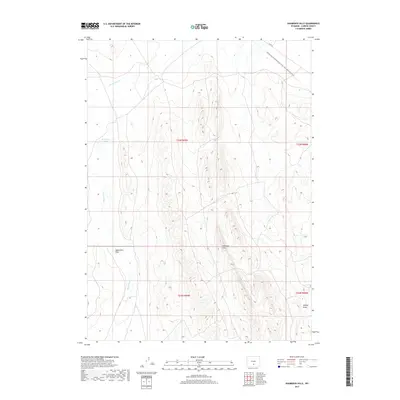
2017 Map of Shamrock Hills
USGS Topo · Published 2017About this map
The Continental Divide National Scenic Trail winds through the high desert landscape of Carbon County, following the ridgeline along the northeastern portion of this topographic study. The terrain is characterized by the prominent uplift of the Shamrock Hills, which overlook the expansive Separation Flats to the west. This area serves as a significant drainage basin, where Separation Cr and several ephemeral water bodies like the Mahoney Lakes collect runoff from the surrounding slopes. The map reveals a remote network of local infrastructure, primarily represented by Co RD 63, which provides access to these high-altitude draws and flats. To the southeast, the landscape transitions toward Willow Draw, illustrating the complex system of natural drainages that define this part of the Wyoming plateau.
Find a feature on this map
11 named features on this map. Tap any name to fly to it.
Don’t see what you’re looking for? This feature index may not catch every label — zoom into the map to look around manually.
Map Details
Editions of this 2017 Shamrock Hills Map
This is the sole edition of this map. No revisions or reprints were ever made.
Other maps of this area

1954 · Rawlins
USGS Topo · 1:250,000

1955 · Casper
USGS Topo · 1:250,000

1956 · Rawlins Peak
USGS Topo · 1:62,500

1958 · Rawlins
USGS Topo · 1:250,000

1958 · Casper
USGS Topo · 1:250,000

1960 · Separation Rim
USGS Topo · 1:24,000

1960 · Bull Springs
USGS Topo · 1:24,000

1960 · Buck Draw
USGS Topo · 1:24,000

1960 · Boggy Meadows
USGS Topo · 1:24,000

1962 · Rawlins
USGS Topo · 1:250,000