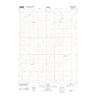
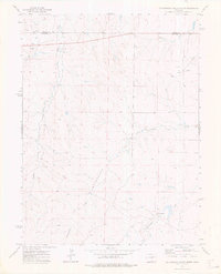
2013 Map of Shamrock SE
USGS Topo · Published 2013About this map
Badger Cr and its tributaries carve a complex drainage pattern across this Adams County landscape, defining the rural character of the high plains east of Denver. The terrain is marked by the presence of energy and aviation infrastructure, notably the Middlemist Oil Field and the small Morris Airport on the eastern edge. Settlement is sparse, anchored by the Calhoun Ranch and a network of strictly aligned section-line roads with evocative names like Hard Money Mile Rd and Yonder Mile Rd. Water sources such as Poison Springs Cr and Sand Arroyo Cr indicate the intermittent nature of the local hydrology, essential for the ranching operations that have long occupied these townships.
Find a feature on this map
19 named features on this map. Tap any name to fly to it.
Don’t see what you’re looking for? This feature index may not catch every label — zoom into the map to look around manually.
Map Details
Editions of this 2013 Shamrock SE Map
This is the sole edition of this map. No revisions or reprints were ever made.
Other maps of this area

1954 · Limon
USGS Topo · 1:250,000

1957 · Limon
USGS Topo · 1:250,000

1958 · Limon
USGS Topo · 1:250,000
1969 · Noonen Reservoir
USGS Topo · 1:24,000
1973 · Potty Brown Creek
USGS Topo · 1:24,000

1973 · Shamrock
USGS Topo · 1:24,000

1973 · Last Chance NW
USGS Topo · 1:24,000
1973 · Woodrow NW
USGS Topo · 1:24,000
1973 · Cottonwood Valley North
USGS Topo · 1:24,000

1973 · Wetzel Creek
USGS Topo · 1:24,000