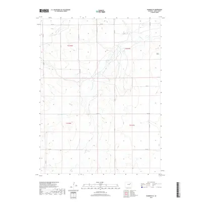
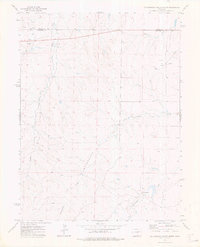
2019 Map of Shamrock SE
USGS Topo · Published 2019About this map
Poision Springs Cr and Badger Cr define the drainage patterns of this high plains landscape in eastern Adams County. The terrain is characterized by broad topographic undulations typical of the region, where seasonal watercourses like Sand Arroyo Cr have carved subtle valleys across the range lines of t2s r58w and t3s r57w. The human imprint is primarily a rectangular grid of section roads, including Shamrock Mile Rd and Pay Rock Rd, which facilitate the agricultural and ranching operations that dominate the area.
Find a feature on this map
19 named features on this map. Tap any name to fly to it.
Don’t see what you’re looking for? This feature index may not catch every label — zoom into the map to look around manually.
Map Details
Editions of this 2019 Shamrock SE Map
This is the sole edition of this map. No revisions or reprints were ever made.
Other maps of this area

1954 · Limon
USGS Topo · 1:250,000

1957 · Limon
USGS Topo · 1:250,000

1958 · Limon
USGS Topo · 1:250,000
1969 · Noonen Reservoir
USGS Topo · 1:24,000
1973 · Potty Brown Creek
USGS Topo · 1:24,000

1973 · Shamrock
USGS Topo · 1:24,000

1973 · Last Chance NW
USGS Topo · 1:24,000
1973 · Woodrow NW
USGS Topo · 1:24,000
1973 · Cottonwood Valley North
USGS Topo · 1:24,000

1973 · Wetzel Creek
USGS Topo · 1:24,000