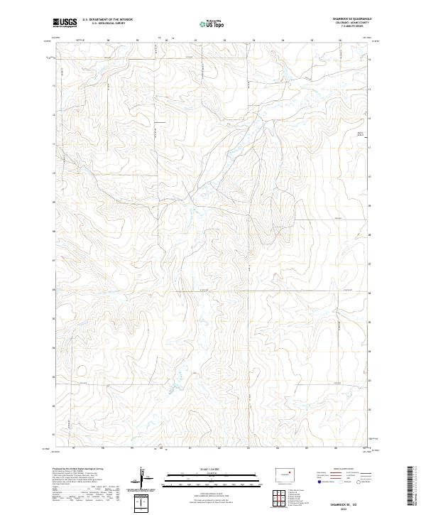
2022 Map of Shamrock SE
USGS Topo · Published 2022About this map
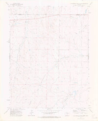
The High Plains of Adams County are defined by a network of seasonal watercourses and straight-line section roads in this contemporary mapping of the region. Badger Cr and Poision Springs Cr carve shallow drainages through the landscape, which is largely organized around the township and range survey lines. This rural corner of Colorado remains sparsely populated, with land use primarily oriented toward ranching and aviation. Morris Airport stands as the primary structural landmark in the northeast, positioned along Yacatan Rd. The grid of county roads, including Pay Rock Rd and Shamrock Mile Rd, provides a clear view of the modern rural infrastructure and land division that has persisted in the eastern part of the county into the twenty-first century.
Find a feature on this map
19 named features on this map. Tap any name to fly to it.
Don’t see what you’re looking for? This feature index may not catch every label — zoom into the map to look around manually.
Map Details
Editions of this 2022 Shamrock SE Map
This is the sole edition of this map. No revisions or reprints were ever made.
Other maps of this area

1954 · Limon
USGS Topo · 1:250,000

1957 · Limon
USGS Topo · 1:250,000

1958 · Limon
USGS Topo · 1:250,000
1969 · Noonen Reservoir
USGS Topo · 1:24,000
1973 · Potty Brown Creek
USGS Topo · 1:24,000

1973 · Shamrock
USGS Topo · 1:24,000

1973 · Last Chance NW
USGS Topo · 1:24,000
1973 · Woodrow NW
USGS Topo · 1:24,000
1973 · Cottonwood Valley North
USGS Topo · 1:24,000

1973 · Wetzel Creek
USGS Topo · 1:24,000