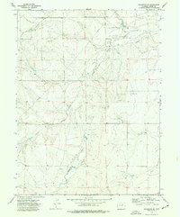
1973 Map of Shamrock SE
USGS Topo · Published 1977About this map
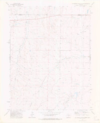
Badger Creek and several other drainage systems dominate the landscape of eastern Adams County as it appeared in the early 1970s. This survey emphasizes the intersection of natural hydrology and modern industrial infrastructure, noting several Oil Wells and Drill Hole locations scattered across the plains. These industrial sites are linked by a network of utilities, including a mapped Pipeline and Aqueduct, which trace the development of resource extraction and water management in this portion of the High Plains. The drainage patterns of Poison Springs Creek, Middlemist Creek, and Sand Creek illustrate the subtle topography and dryland character of the region. While the map is devoid of large settlements, the detailed record of local creek beds and resource-related sites provides important context for researchers looking at the evolution of land use and the energy economy in eastern Colorado.
Find a feature on this map
11 named features on this map. Tap any name to fly to it.
Don’t see what you’re looking for? This feature index may not catch every label — zoom into the map to look around manually.
Map Details
Editions of this 1973 Shamrock SE Map
This is the sole edition of this map. No revisions or reprints were ever made.
Other maps of this area

1954 · Limon
USGS Topo · 1:250,000

1957 · Limon
USGS Topo · 1:250,000

1958 · Limon
USGS Topo · 1:250,000
1969 · Noonen Reservoir
USGS Topo · 1:24,000
1973 · Potty Brown Creek
USGS Topo · 1:24,000

1973 · Shamrock
USGS Topo · 1:24,000

1973 · Last Chance NW
USGS Topo · 1:24,000
1973 · Woodrow NW
USGS Topo · 1:24,000
1973 · Cottonwood Valley North
USGS Topo · 1:24,000

1973 · Wetzel Creek
USGS Topo · 1:24,000