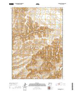
2020 Map of Shaniko Summit
USGS Topo · Published 2020About this map
Shaniko sits at the high northern edge of this high desert plateau, where the landscape is defined by deep drainages and volcanic relief. The geography is characterized by several major landforms, including Shaniko Summit and Cross Hill, which overlook a network of seasonal watercourses. These include Cottonwood Cr to the west and the convergences of Indian Cr and Antelope Cr to the southeast.
Find a feature on this map
22 named features on this map. Tap any name to fly to it.
Don’t see what you’re looking for? This feature index may not catch every label — zoom into the map to look around manually.
Map Details
Editions of this 2020 Shaniko Summit Map
This is the sole edition of this map. No revisions or reprints were ever made.
Other maps of this area

1953 · The Dalles
USGS Topo · 1:250,000

1955 · Bend
USGS Topo · 1:250,000

1956 · The Dalles
USGS Topo · 1:250,000

1957 · Bend
USGS Topo · 1:250,000

1957 · The Dalles
USGS Topo · 1:250,000

1958 · Bend
USGS Topo · 1:250,000

1966 · Antelope
USGS Topo · 1:62,500

1966 · Willowdale
USGS Topo · 1:62,500

1970 · Macken Canyon
USGS Topo · 1:24,000
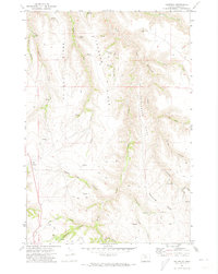
1971 · Criterion
USGS Topo · 1:24,000