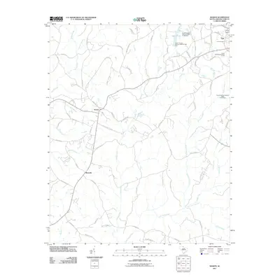
2011 Map of Sharon
USGS Topo · Published 2011About this map
Sharon and the surrounding York County countryside are defined by a complex network of creek drainage and agricultural roads at the start of the 21st century. The landscape is dominated by the headwaters of Bullock Creek, Turkey Creek, and McClure Creek, which carve through the terrain as they flow south. To the northeast, the outskirts of the town of York appear, featuring the historic Union Cemetery and Lake Caldwell. The map illustrates a rural settlement pattern where long-established road names like Old Pinckney Rd and Old Meeting House Rd hint at the area's deep history and connectivity between smaller communities like Blairsville. A series of small reservoirs, including the Lower York Reservoir Dam D-1222, demonstrate the local management of water resources for the growing population center near the map's edge.
Find a feature on this map
82 named features on this map. Tap any name to fly to it.
Don’t see what you’re looking for? This feature index may not catch every label — zoom into the map to look around manually.
Map Details
Editions of this 2011 Sharon Map
This is the sole edition of this map. No revisions or reprints were ever made.
Other maps of this area

1906 · Kings Mountain
USGS Topo · 1:62,500

1907 · Sharon
USGS Topo · 1:62,500

1908 · Kings Mountain
USGS Topo · 1:62,500

1941 · Spartanburg
USGS Topo · 1:250,000

1947 · Clover
USGS Topo · 1:62,500

1949 · Clover
USGS Topo · 1:62,500

1949 · Rock Hill
USGS Topo · 1:62,500

1953 · Spartanburg
USGS Topo · 1:250,000

1953 · Charlotte
USGS Topo · 1:250,000

1954 · Charlotte
USGS Topo · 1:250,000