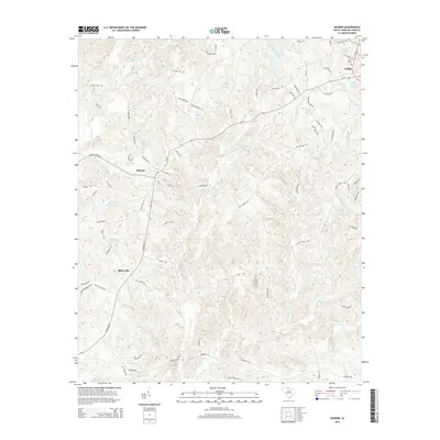
2014 Map of Sharon
USGS Topo · Published 2014About this map
Sharon and Blairsville anchor the western landscape of this York County quadrangle, where a dense network of country roads connects family-named homesteads and rural landmarks. The terrain is defined by a dendritic drainage system feeding into Turkey Cr and Little Turkey Cr, alongside named branches like Berry Br, Mitchell Br, and the uniquely named Purgatory Br. In the northeast corner, the city of York marks the transition from rural acreage to municipal development, centered around the Lower York Reservoir and Caldwell Lake.
Find a feature on this map
82 named features on this map. Tap any name to fly to it.
Don’t see what you’re looking for? This feature index may not catch every label — zoom into the map to look around manually.
Map Details
Editions of this 2014 Sharon Map
This is the sole edition of this map. No revisions or reprints were ever made.
Other maps of this area

1906 · Kings Mountain
USGS Topo · 1:62,500

1907 · Sharon
USGS Topo · 1:62,500

1908 · Kings Mountain
USGS Topo · 1:62,500

1941 · Spartanburg
USGS Topo · 1:250,000

1947 · Clover
USGS Topo · 1:62,500

1949 · Clover
USGS Topo · 1:62,500

1949 · Rock Hill
USGS Topo · 1:62,500

1953 · Spartanburg
USGS Topo · 1:250,000

1953 · Charlotte
USGS Topo · 1:250,000

1954 · Charlotte
USGS Topo · 1:250,000