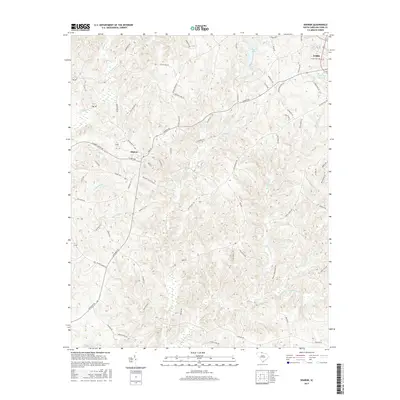
2017 Map of Sharon
USGS Topo · Published 2017About this map
The town of Sharon sits at the convergence of several rural routes including Sharon Rd and Rainey Ave, serving as a central hub for this corner of York County. The landscape is defined by an intricate network of watercourses, most notably Turkey Creek and its many tributaries like Little Turkey Creek and McClure Branch, which carve through the undulating terrain. To the northeast, the outskirts of York are visible, featuring the Lower York Reservoir and the historic Union Cemetery along Old Pinckney Rd. The map reveals a transition from the structured street grid of the smaller settlements to a sprawling rural layout where family-named roads like Ferguson Farm Rd and Clark Steele Rd indicate long-standing agricultural and land-ownership patterns. Significant water features such as Caldwell Lake and the oddly named Purgatory Branch provide further geographic detail to this Piedmont region.
Find a feature on this map
80 named features on this map. Tap any name to fly to it.
Don’t see what you’re looking for? This feature index may not catch every label — zoom into the map to look around manually.
Map Details
Editions of this 2017 Sharon Map
This is the sole edition of this map. No revisions or reprints were ever made.
Other maps of this area

1906 · Kings Mountain
USGS Topo · 1:62,500

1907 · Sharon
USGS Topo · 1:62,500

1908 · Kings Mountain
USGS Topo · 1:62,500

1941 · Spartanburg
USGS Topo · 1:250,000

1947 · Clover
USGS Topo · 1:62,500

1949 · Clover
USGS Topo · 1:62,500

1949 · Rock Hill
USGS Topo · 1:62,500

1953 · Spartanburg
USGS Topo · 1:250,000

1953 · Charlotte
USGS Topo · 1:250,000

1954 · Charlotte
USGS Topo · 1:250,000