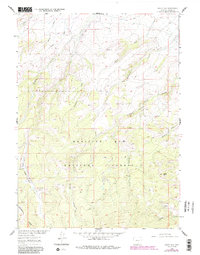
1961 Map of Sharp Hill
USGS Topo · Published 1984About this map
The Medicine Bow National Forest dominates this section of the Sierra Madre range in Carbon County, where the landscape is defined by the high drainage systems of the Continental Divide. Surveyed in 1961 with later revisions, the topography centers on the namesake Sharp Hill and the headwaters of numerous named watercourses including Buck Methodist Creek and Alameda Creek. A notable presence of Forest Service infrastructure is evident at the Jack Creek Guard Sta and the nearby Jack Creek Campground, serving as an anchor point for travel along the iconic Continental Divide Trail. The map also captures remnants of resource extraction, such as a Mine located near Snow Grove Creek, illustrating the intersection of recreation, conservation, and industry within the National Forest during the mid-20th century.
Find a feature on this map
18 named features on this map. Tap any name to fly to it.
Don’t see what you’re looking for? This feature index may not catch every label — zoom into the map to look around manually.
Map Details
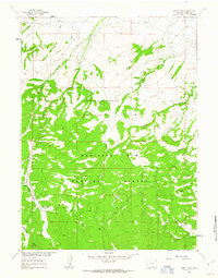
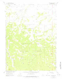
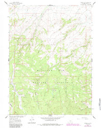
Editions of this 1961 Sharp Hill Map
4 editions found
Other maps of this area

1932 · Savery
USGS Topo · 1:96,000

1939 · Saratoga
USGS Topo · 1:125,000

1940 · Savery
USGS Topo · 1:125,000

1954 · Rawlins
USGS Topo · 1:250,000

1958 · Rawlins
USGS Topo · 1:250,000

1961 · Red Mountain
USGS Topo · 1:24,000

1961 · Divide Peak
USGS Topo · 1:24,000

1961 · Middlewood Hill
USGS Topo · 1:24,000

1961 · Bridger Peak
USGS Topo · 1:24,000

1961 · Jack Creek Reservoir
USGS Topo · 1:24,000