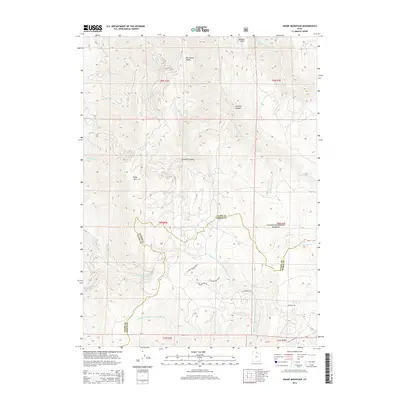
2014 Map of Sharp Mountain
USGS Topo · Published 2014About this map
Cache National Forest encompasses the high country shown here, where the border between Cache and Weber Counties follows the high ridges. The landscape is defined by its drainage systems, notably the Right Fork and Left Fork Middle Fork Ogden River, which carve deep paths through the mountainous terrain. Named peaks like Sharp Mtn and Mineral Point dominate the skyline, while geographic features such as Porcupine Ridge and La Plata Canyon indicate a region shaped by complex topographic shifts. To the south, a small network of residential roads including N John Fremont Dr E and E Chukar Point Dr N marks a pocket of development amidst the vast timberland and canyons. This survey captures the area at a point of balance between its wild, high-altitude character and localized residential expansion near the county line.
Find a feature on this map
32 named features on this map. Tap any name to fly to it.
Don’t see what you’re looking for? This feature index may not catch every label — zoom into the map to look around manually.
Map Details
Editions of this 2014 Sharp Mountain Map
This is the sole edition of this map. No revisions or reprints were ever made.
Other maps of this area

1914 · Logan
USGS Topo · 1:125,000

1916 · Logan
USGS Topo · 1:125,000

1954 · Ogden
USGS Topo · 1:250,000

1955 · Paradise
USGS Topo · 1:24,000

1955 · Huntsville
USGS Topo · 1:24,000

1955 · James Peak
USGS Topo · 1:24,000

1958 · Ogden
USGS Topo · 1:250,000

1960 · Ogden
USGS Topo · 1:250,000

1964 · Monte Cristo PK
USGS Topo · 1:24,000
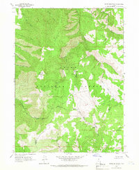
1964 · Sharp Mountain
USGS Topo · 1:24,000