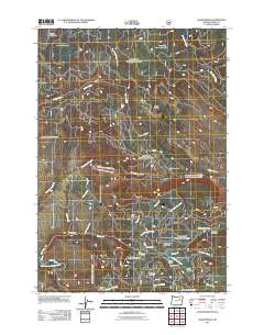
2011 Map of Sharp Ridge
USGS Topo · Published 2011About this map
Keeney Mine sits high in the northern reach of this landscape, overlooking a series of meadows and creek drainages that define the Grant County backcountry. The terrain is structured by the prominent Sharp Ridge, which divides the northern flow of Desolation Creek and East Fork Meadow Brook from the southern waters feeding the Middle Fork John Day River. The geography is characterized by numerous named clearings and flats, such as Putney Meadows, Howard Meadow, and Shumway Meadow, which historically served as vital staging points for regional grazing and timber activity.
Find a feature on this map
159 named features on this map. Tap any name to fly to it.
Don’t see what you’re looking for? This feature index may not catch every label — zoom into the map to look around manually.
Map Details
Editions of this 2011 Sharp Ridge Map
This is the sole edition of this map. No revisions or reprints were ever made.
Other maps of this area

1949 · Susanville
USGS Topo · 1:62,500

1951 · Susanville
USGS Topo · 1:62,500

1951 · Dale
USGS Topo · 1:62,500

1951 · Bates
USGS Topo · 1:62,500

1951 · Desolation Butte
USGS Topo · 1:62,500

1955 · Canyon City
USGS Topo · 1:250,000

1959 · Canyon City
USGS Topo · 1:250,000
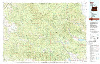
1987 · Bates
USGS Topo · 1:100,000
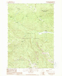
1988 · Desolation Butte
USGS Topo · 1:24,000
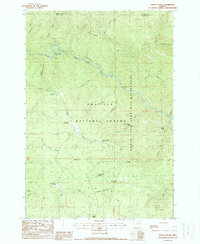
1988 · Kelsay Butte
USGS Topo · 1:24,000