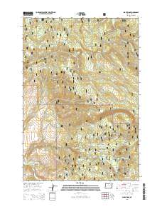
2014 Map of Sharp Ridge
USGS Topo · Published 2014About this map
The Middle Fork John Day River cuts through the southwestern corner of this high-elevation landscape, where the Umatilla National Forest meets the Malhuer National Forest. This high-country terrain is defined by a series of named ridges and meadows, most notably the namesake Sharp Ridge and Putney Mtn. A network of Forest Service development roads, such as Nat For Dev RD 160 and Natl Forest Develop Road 51 RD, provides access to these remote timberlands and grazing allotments. Numerous springs and meadows, including Pizer Meadow, Keeney Meadow, and Hunter Meadow, suggest a landscape historically utilized for seasonal livestock grazing and forestry operations. The drainage patterns are complex, with headwater creeks like Desolation Cr, Indian Cr, and Huckleberry Cr carving deep into the volcanic plateaus of eastern Oregon.
Find a feature on this map
53 named features on this map. Tap any name to fly to it.
Don’t see what you’re looking for? This feature index may not catch every label — zoom into the map to look around manually.
Map Details
Editions of this 2014 Sharp Ridge Map
This is the sole edition of this map. No revisions or reprints were ever made.
Other maps of this area

1949 · Susanville
USGS Topo · 1:62,500

1951 · Susanville
USGS Topo · 1:62,500

1951 · Dale
USGS Topo · 1:62,500

1951 · Bates
USGS Topo · 1:62,500

1951 · Desolation Butte
USGS Topo · 1:62,500

1955 · Canyon City
USGS Topo · 1:250,000

1959 · Canyon City
USGS Topo · 1:250,000
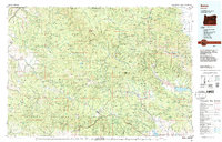
1987 · Bates
USGS Topo · 1:100,000
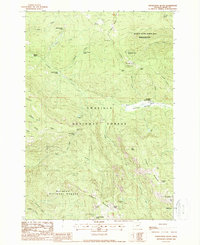
1988 · Desolation Butte
USGS Topo · 1:24,000
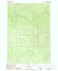
1988 · Kelsay Butte
USGS Topo · 1:24,000