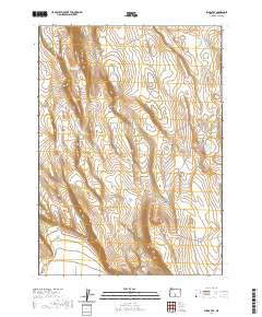
2020 Map of Sharp Top
USGS Topo · Published 2020About this map
Diablo Rim dominates the northern horizon of this high-desert landscape in Lake County, a region defined by its critical water sources and dramatic elevation shifts. The terrain is marked by a series of essential springs and catchments, including the Giant Waterhole, Inter Mountain Waterhole, and Wildcat Waterhole, which reflect the area's importance for livestock and wildlife management. Rising from the center of the sheet, the peak of Sharp Top overlooks a network of remote corridors like Co RD 6144 and Lake Co RD 2-06. To the south, the landscape softens into Sand Hollow, showing the complex topography of the Oregon outback. The map preserves the exact locations of distributed water points like South Cat Waterhole and Sprinkle Waterhole, offering a precise record of how this arid environment is navigated and utilized.
Find a feature on this map
15 named features on this map. Tap any name to fly to it.
Don’t see what you’re looking for? This feature index may not catch every label — zoom into the map to look around manually.
Map Details
Editions of this 2020 Sharp Top Map
This is the sole edition of this map. No revisions or reprints were ever made.
Other maps of this area

1955 · Klamath Falls
USGS Topo · 1:250,000

1958 · Klamath Falls
USGS Topo · 1:250,000

1966 · Coglan Buttes NE
USGS Topo · 1:24,000

1966 · Coglan Buttes
USGS Topo · 1:24,000

1966 · Paisley
USGS Topo · 1:24,000

1974 · Lake Abert
USGS Topo · 1:100,000

1985 · Sharp Top
USGS Topo · 1:24,000
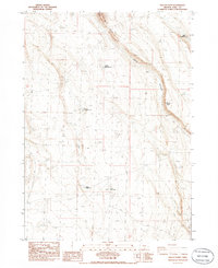
1985 · Biscuit Point
USGS Topo · 1:24,000
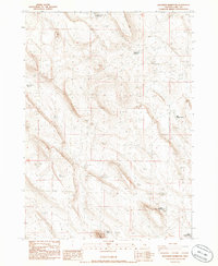
1985 · Diatomite Reservoir
USGS Topo · 1:24,000
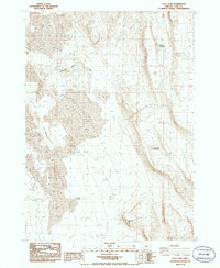
1986 · Loco Lake
USGS Topo · 1:24,000