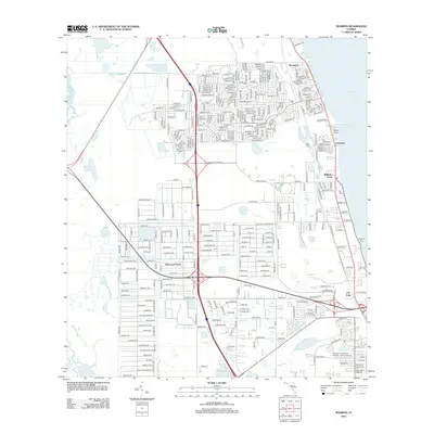
2012 Map of Sharpes
USGS Topo · Published 2012About this map
The Indian River shoreline dominates this coastal Florida landscape, where a dense network of residential streets and arterial roads like the Grissom Pkwy and Canaveral Groves Blvd facilitate modern suburban expansion. Small inland water bodies such as Lake Wilson, Geiger Lake, and Sharpes Lake punctuate the grid, while the community of Canaveral Acres sits nestled between major thoroughfares.
Find a feature on this map
21 named features on this map. Tap any name to fly to it.
Don’t see what you’re looking for? This feature index may not catch every label — zoom into the map to look around manually.
Map Details
Editions of this 2012 Sharpes Map
This is the sole edition of this map. No revisions or reprints were ever made.
Other maps of this area

1949 · Orsino
USGS Topo · 1:24,000

1949 · Titusville
USGS Topo · 1:24,000

1949 · Courtenay
USGS Topo · 1:24,000

1949 · Sharpes
USGS Topo · 1:24,000

1949 · Cocoa
USGS Topo · 1:24,000

1951 · Cocoa
USGS Topo · 1:24,000

1951 · Courtenay
USGS Topo · 1:24,000

1951 · Sharpes
USGS Topo · 1:24,000

1951 · Orsino
USGS Topo · 1:24,000

1952 · Titusville
USGS Topo · 1:24,000