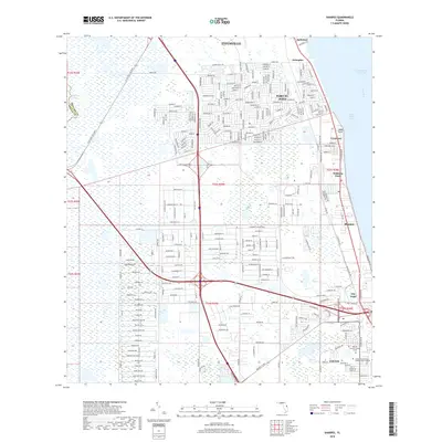
2018 Map of Sharpes
USGS Topo · Published 2018About this map
Port St. John and the surrounding coastal corridor of Brevard County define this 2018 survey, capturing the suburban development situated between the Intracoastal Waterway and the inland wetlands. The map details a densely gridded residential landscape extending from southern Titusville down through Sharpes and City Point. This area reflects the modern educational and infrastructure footprint of the Space Coast, prominently featuring the Eastern Florida State College Cocoa Campus and the University of Central Florida Cocoa near the southern boundary. Along the shore of the Indian River Lagoon, the transition from water to land is marked by points such as Jones Point and Williams Point, while major transportation arteries like the N Leg Bee Line Expy and Bennett Cswy facilitate movement across the marshes toward the coast.
Find a feature on this map
32 named features on this map. Tap any name to fly to it.
Don’t see what you’re looking for? This feature index may not catch every label — zoom into the map to look around manually.
Map Details
Editions of this 2018 Sharpes Map
This is the sole edition of this map. No revisions or reprints were ever made.
Other maps of this area

1949 · Orsino
USGS Topo · 1:24,000

1949 · Titusville
USGS Topo · 1:24,000

1949 · Courtenay
USGS Topo · 1:24,000

1949 · Sharpes
USGS Topo · 1:24,000

1949 · Cocoa
USGS Topo · 1:24,000

1951 · Cocoa
USGS Topo · 1:24,000

1951 · Courtenay
USGS Topo · 1:24,000

1951 · Sharpes
USGS Topo · 1:24,000

1951 · Orsino
USGS Topo · 1:24,000

1952 · Titusville
USGS Topo · 1:24,000