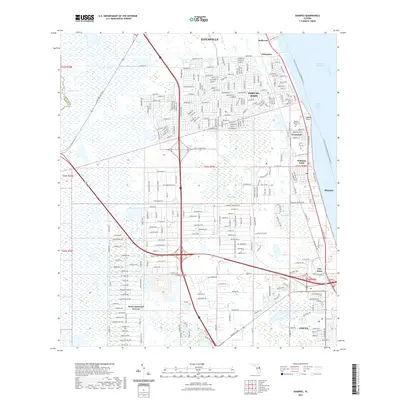
2021 Map of Sharpes
USGS Topo · Published 2021About this map
The Indian River Lagoon and the Intracoastal Waterway define the eastern edge of this coastal Florida landscape, where a string of historic communities follows the shoreline of the Indian River. The transport corridor formed by the Florida East Coast RR and arterial roads connects established settlements like Frontenac, Sharpes, and City Point. Further inland, the residential development of Port St. John and West Canaveral Groves contrasts with the surrounding wetlands and smaller water bodies such as Lake Wilson and Halfway Lake.
Find a feature on this map
150 named features on this map. Tap any name to fly to it.
Don’t see what you’re looking for? This feature index may not catch every label — zoom into the map to look around manually.
Map Details
Editions of this 2021 Sharpes Map
This is the sole edition of this map. No revisions or reprints were ever made.
Other maps of this area

1949 · Orsino
USGS Topo · 1:24,000

1949 · Titusville
USGS Topo · 1:24,000

1949 · Courtenay
USGS Topo · 1:24,000

1949 · Sharpes
USGS Topo · 1:24,000

1949 · Cocoa
USGS Topo · 1:24,000

1951 · Cocoa
USGS Topo · 1:24,000

1951 · Courtenay
USGS Topo · 1:24,000

1951 · Sharpes
USGS Topo · 1:24,000

1951 · Orsino
USGS Topo · 1:24,000

1952 · Titusville
USGS Topo · 1:24,000