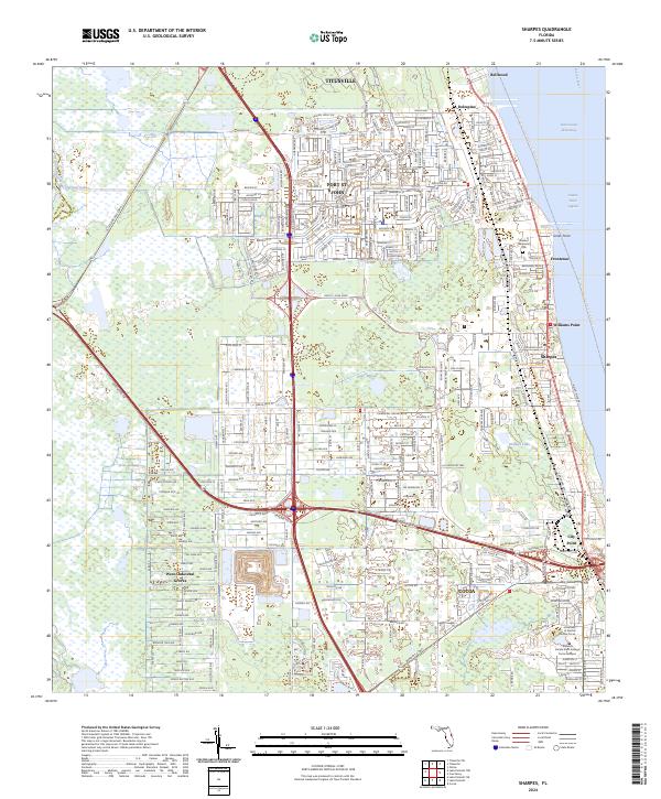
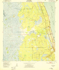
2024 Map of Sharpes
USGS Topo · Published 2024About this map
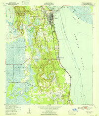
Indian River Lagoon and the Indian River define the eastern edge of this modern Brevard County landscape, where coastal communities are tightly packed between the water and the conservation lands to the west. The residential corridors of Port St. John and Sharpes follow the historic alignment of the Florida East Coast Railway, illustrating the long-term impact of rail infrastructure on Florida's Atlantic coast development. To the west, the Saint Johns National Wildlife Refuge provides a stark contrast to the suburban grid, preserving a massive tract of wetlands and native terrain near the Saint Johns River. Educational hubs such as the University of Central Florida Cocoa and the Eastern Florida State College Cocoa Campus anchor the southern portion of the map, marking the area's growth as a regional center for research and learning.
Find a feature on this map
174 named features on this map. Tap any name to fly to it.
Don’t see what you’re looking for? This feature index may not catch every label — zoom into the map to look around manually.
Map Details
Editions of this 2024 Sharpes Map
This is the sole edition of this map. No revisions or reprints were ever made.
Other maps of this area
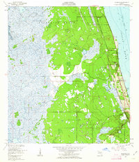
1949 · Orsino
USGS Topo · 1:24,000
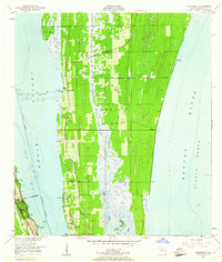
1949 · Titusville
USGS Topo · 1:24,000
1949 · Courtenay
USGS Topo · 1:24,000
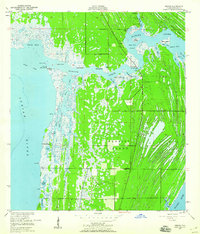
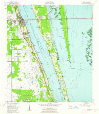
1949 · Sharpes
USGS Topo · 1:24,000
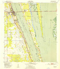
1949 · Cocoa
USGS Topo · 1:24,000
1951 · Cocoa
USGS Topo · 1:24,000

1951 · Courtenay
USGS Topo · 1:24,000
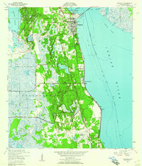
1951 · Sharpes
USGS Topo · 1:24,000

1951 · Orsino
USGS Topo · 1:24,000
1952 · Titusville
USGS Topo · 1:24,000