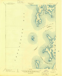
1904 Map of Sharps Island
USGS Topo · Published 1944About this map
Tilghman Island dominates this coastal survey, serving as a hub of activity at the meeting point of the Chesapeake Bay and the Choptank River. The map details a maritime landscape defined by small water-dependent settlements such as Tilghman, Avalon, and Fairbank. Of particular interest is the presence of Sharps Island and its landmark Sharps Island L.H., providing a historical record of the bay's islands before significant shoreline erosion changed their profiles. The intricate network of tidal waterways, including Harris Creek and Broad Creek, illustrates the complex geography of Talbot Co. and Dorchester Co.. Navigation and local commerce are marked by features like the Tilghman Island Landing, reflecting the essential connection between the land and the surrounding waters during the early 20th century.
Find a feature on this map
46 named features on this map. Tap any name to fly to it.
Don’t see what you’re looking for? This feature index may not catch every label — zoom into the map to look around manually.
Map Details
Editions of this 1904 Sharps Island Map
3 editions found

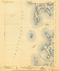
Other maps of this area

1892 · Leonardtown
USGS Topo · 1:62,500

1892 · Drum Point
USGS Topo · 1:62,500

1892 · Prince Frederick
USGS Topo · 1:62,500

1892 · Owensville
USGS Topo · 1:62,500

1892 · Annapolis
USGS Topo · 1:62,500

1893 · Sharps Island
USGS Topo · 1:62,500

1895 · Prince Frederick
USGS Topo · 1:62,500

1895 · Leonardtown
USGS Topo · 1:62,500

1895 · Nomini
USGS Topo · 1:125,000

1895 · Owensville
USGS Topo · 1:62,500