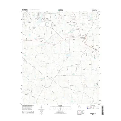
2014 Map of Sharpsburg
USGS Topo · Published 2014About this map
Newnan and the surrounding Coweta County countryside appear in this survey, which details a landscape defined by small settlements and numerous private water bodies. The community of Sharpsburg serves as a central point, situated along Ga-16 and the Ga-54 corridor, while smaller locales like Turin, Raymond, and the neighborhood of Pope Hills Estate dot the rolling terrain. The map is a significant resource for those tracking local heritage, showing established rural centers such as Blackjack and Bexton alongside various burial grounds including the White Oak Cemetery and China Grove Cemetery.
Find a feature on this map
64 named features on this map. Tap any name to fly to it.
Don’t see what you’re looking for? This feature index may not catch every label — zoom into the map to look around manually.
Map Details
Editions of this 2014 Sharpsburg Map
This is the sole edition of this map. No revisions or reprints were ever made.
Other maps of this area

1953 · Atlanta
USGS Topo · 1:250,000

1957 · Atlanta
USGS Topo · 1:250,000

1958 · Atlanta
USGS Topo · 1:250,000

1964 · Grantville
USGS Topo · 1:24,000

1965 · Newnan South
USGS Topo · 1:24,000
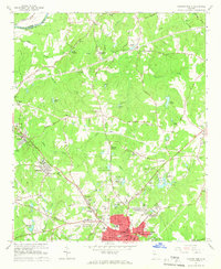
1965 · Newnan North
USGS Topo · 1:24,000

1965 · Tyrone
USGS Topo · 1:24,000

1965 · Madras
USGS Topo · 1:24,000

1965 · Senoia
USGS Topo · 1:24,000

1965 · Sharpsburg
USGS Topo · 1:24,000