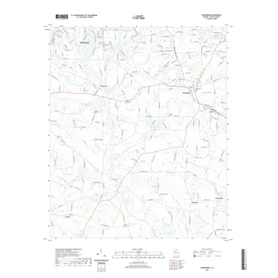
2020 Map of Sharpsburg
USGS Topo · Published 2020About this map
Sharpsburg and Turin serve as central nodes in this Coweta County landscape, where the transition from residential outskirts to rural acreage is marked by numerous family and community landmarks. The area's spiritual and genealogical history is well-preserved through sites like China Grove Cem and the Mount Gilead United Methodist Cem, alongside several other smaller burial grounds that dot the countryside.
Find a feature on this map
198 named features on this map. Tap any name to fly to it.
Don’t see what you’re looking for? This feature index may not catch every label — zoom into the map to look around manually.
Map Details
Editions of this 2020 Sharpsburg Map
This is the sole edition of this map. No revisions or reprints were ever made.
Other maps of this area

1953 · Atlanta
USGS Topo · 1:250,000

1957 · Atlanta
USGS Topo · 1:250,000

1958 · Atlanta
USGS Topo · 1:250,000
1964 · Grantville
USGS Topo · 1:24,000
1965 · Newnan South
USGS Topo · 1:24,000
1965 · Newnan North
USGS Topo · 1:24,000
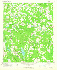
1965 · Tyrone
USGS Topo · 1:24,000
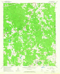
1965 · Madras
USGS Topo · 1:24,000
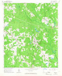
1965 · Senoia
USGS Topo · 1:24,000
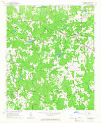
1965 · Sharpsburg
USGS Topo · 1:24,000