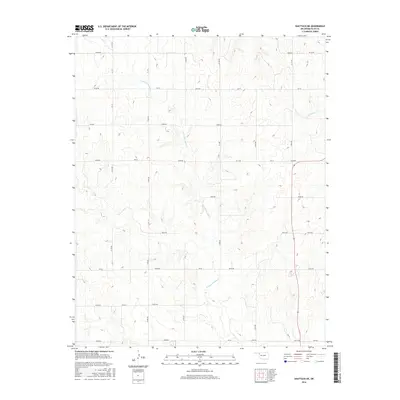
2016 Map of Shattuck NE
USGS Topo · Published 2016About this map
Twentyfive Mile Cr and Sixteenmile Cr define the drainage patterns across this section of Ellis County, Oklahoma. The landscape is characterized by a high-density grid of rural section-line roads, such as E0360 Rd and NS 180 Rd, which provide access to the expansive agricultural and ranching parcels common to the High Plains. This 2016 survey highlights the persistent rural character of the region north of Shattuck, where the intersection of roads like Ew 37 and N1780 Rd facilitates movement across the rolling prairie. The absence of concentrated town sites emphasizes the distributed nature of the homesteads and agricultural operations that rely on these creek systems and the systematic road network for transportation and connectivity.
Find a feature on this map
36 named features on this map. Tap any name to fly to it.
Don’t see what you’re looking for? This feature index may not catch every label — zoom into the map to look around manually.
Map Details
Editions of this 2016 Shattuck NE Map
This is the sole edition of this map. No revisions or reprints were ever made.
Other maps of this area

1955 · Woodward
USGS Topo · 1:250,000

1958 · Woodward
USGS Topo · 1:250,000

1969 · Fargo SW
USGS Topo · 1:24,000

1969 · Fargo NW
USGS Topo · 1:24,000

1969 · Shattuck
USGS Topo · 1:24,000

1969 · Shattuck NW
USGS Topo · 1:24,000

1969 · Gage
USGS Topo · 1:24,000

1969 · Shattuck NE
USGS Topo · 1:24,000

1970 · Laverne SW
USGS Topo · 1:24,000

1971 · May East
USGS Topo · 1:24,000