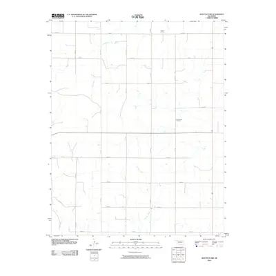
2010 Map of Shattuck NW
USGS Topo · Published 2010About this map
Bickford Cemetery and Mount Hope Cemetery stand as central landmarks in this high-plains landscape of Ellis County, Oklahoma. The area is defined by a grid of rural roads, including n1730 RD and e0380 RD, which navigate the subtle drainage basins of ephemeral waterways. The geography is carved by the winding paths of Dry Prong, Six Pony Creek, and Ivanhoe Creek, illustrating the natural irrigation patterns essential to this portion of the Oklahoma Panhandle border region. This survey captures a rural landscape where the placement of cemeteries relative to the section lines provides a key to the early settlement and community structure of the region during the early twenty-first century.
Find a feature on this map
18 named features on this map. Tap any name to fly to it.
Don’t see what you’re looking for? This feature index may not catch every label — zoom into the map to look around manually.
Map Details
Editions of this 2010 Shattuck NW Map
This is the sole edition of this map. No revisions or reprints were ever made.
Other maps of this area

1954 · Perryton
USGS Topo · 1:250,000

1955 · Woodward
USGS Topo · 1:250,000

1958 · Perryton
USGS Topo · 1:250,000

1958 · Woodward
USGS Topo · 1:250,000

1969 · Shattuck
USGS Topo · 1:24,000

1969 · Shattuck NW
USGS Topo · 1:24,000

1969 · Gage
USGS Topo · 1:24,000

1969 · Shattuck NE
USGS Topo · 1:24,000

1970 · Laverne SW
USGS Topo · 1:24,000

1971 · Slapout
USGS Topo · 1:24,000