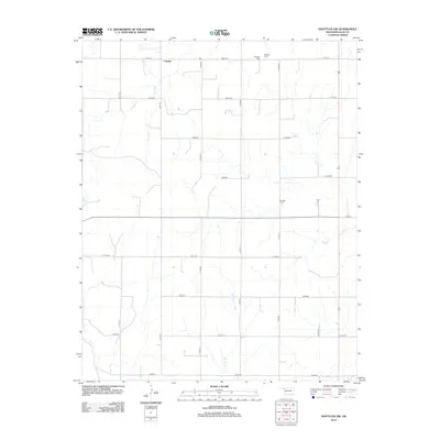
2012 Map of Shattuck NW
USGS Topo · Published 2012About this map
Catesby occupies the northern edge of this high plains landscape, situated within a rectilinear grid of section roads in Ellis County. The terrain is defined by the subtle drainage patterns of Ivanhoe Cr and Six Pony Cr, which carve shallow paths through the agricultural expanse. For genealogists and local historians, the presence of Mt Hope Cem and Bickford Cem provides a direct link to the families who settled this corner of Oklahoma. The map documents a mature rural infrastructure, where named routes like n1700 RD and e0400 RD connect isolated farmsteads across the prairie. The seasonal nature of the landscape is suggested by features such as Dry Prong, highlighting the arid character of the region's hydrography.
Find a feature on this map
21 named features on this map. Tap any name to fly to it.
Don’t see what you’re looking for? This feature index may not catch every label — zoom into the map to look around manually.
Map Details
Editions of this 2012 Shattuck NW Map
This is the sole edition of this map. No revisions or reprints were ever made.
Other maps of this area

1954 · Perryton
USGS Topo · 1:250,000

1955 · Woodward
USGS Topo · 1:250,000

1958 · Perryton
USGS Topo · 1:250,000

1958 · Woodward
USGS Topo · 1:250,000

1969 · Shattuck
USGS Topo · 1:24,000

1969 · Shattuck NW
USGS Topo · 1:24,000

1969 · Gage
USGS Topo · 1:24,000

1969 · Shattuck NE
USGS Topo · 1:24,000

1970 · Laverne SW
USGS Topo · 1:24,000

1971 · Slapout
USGS Topo · 1:24,000