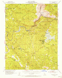
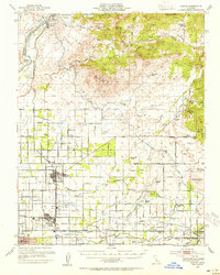
1953 Map of Shaver Lake
USGS Topo · Published 1955About this map
The San Joaquin River carves a deep canyon through this portion of the Sierra National Forest, separating Fresno and Madera counties during the early 1950s. Hydroelectric development is central to the area's landscape, evidenced by a string of infrastructure including Powerhouse 1A and Powerhouse 8, which utilize the waters of Shaver Lake. Local history is deeply rooted in the timber and mining industries, with sites like Old Bretz Mill and the Pine Grove Mine dotting the terrain.
Find a feature on this map
100 named features on this map. Tap any name to fly to it.
Don’t see what you’re looking for? This feature index may not catch every label — zoom into the map to look around manually.
Map Details
Editions of this 1953 Shaver Lake Map
5 editions found

Other maps of this area

1904 · Kaiser
USGS Topo · 1:125,000

1912 · Mariposa
USGS Topo · 1:125,000

1922 · Trimmer
USGS Topo · 1:96,000

1923 · Academy
USGS Topo · 1:31,680

1924 · Dinuba
USGS Topo · 1:125,000

1942 · Watts Valley
USGS Topo · 1:62,500

1942 · Millerton Lake
USGS Topo · 1:62,500

1944 · Watts Valley
USGS Topo · 1:62,500

1945 · Millerton Lake
USGS Topo · 1:62,500
1946 · Clovis
USGS Topo · 1:62,500