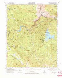
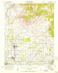
1953 Map of Shaver Lake
USGS Topo · Published 1973About this map
The San Joaquin River carves a deep canyon through this Sierra Nevada landscape, serving as the county line between Madera and Fresno. In the early 1950s, the region's hydroelectric infrastructure was well-established, as evidenced by a series of powerhouses including Powerhouse 3 and Powerhouse 4 situated along the river's bend. The map illustrates a transitional period for local industry, where the Old Railroad Grade and historic sites like Old Bretz Mill sit alongside newer developments like Shaver Lake Heights.
Find a feature on this map
107 named features on this map. Tap any name to fly to it.
Don’t see what you’re looking for? This feature index may not catch every label — zoom into the map to look around manually.
Map Details
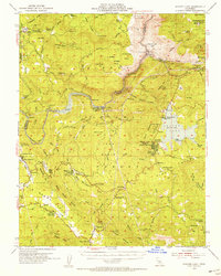
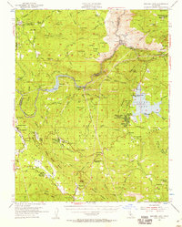
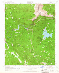
Editions of this 1953 Shaver Lake Map
5 editions found

Other maps of this area

1904 · Kaiser
USGS Topo · 1:125,000

1912 · Mariposa
USGS Topo · 1:125,000

1922 · Trimmer
USGS Topo · 1:96,000

1923 · Academy
USGS Topo · 1:31,680

1924 · Dinuba
USGS Topo · 1:125,000

1942 · Watts Valley
USGS Topo · 1:62,500

1942 · Millerton Lake
USGS Topo · 1:62,500

1944 · Watts Valley
USGS Topo · 1:62,500

1945 · Millerton Lake
USGS Topo · 1:62,500
1946 · Clovis
USGS Topo · 1:62,500