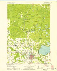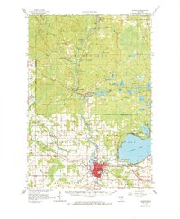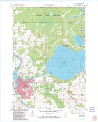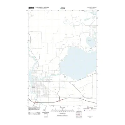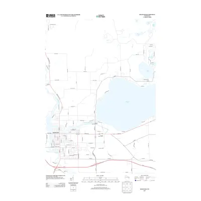
1984 Map of Shawano
USGS Topo · Published 1989About this map
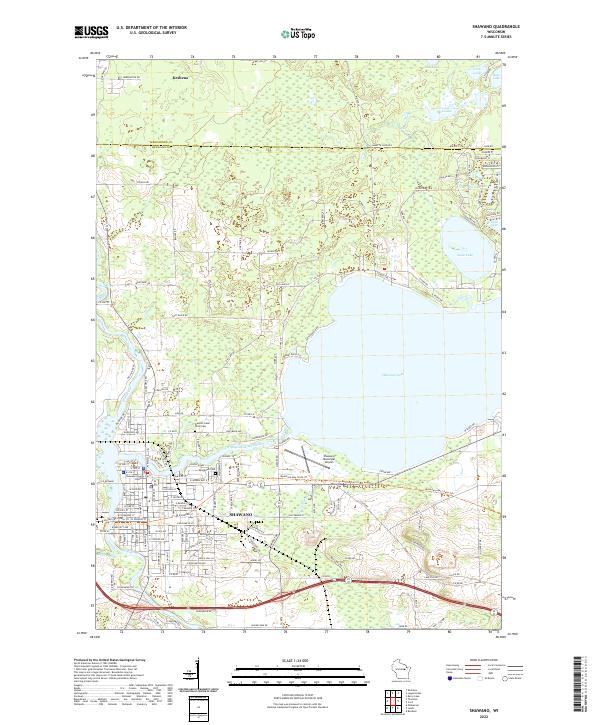
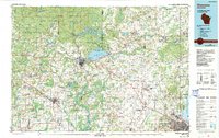
The Menominee Indian Reservation and Stockbridge-Munsee Indian Reservation dominate the northern landscape of this mid-1980s survey, showing a region defined by its tribal lands and extensive water systems. The Wolf River winds through the heart of the territory, feeding into the complex hydrology near Shawano, where the Shawano Seaplane Base sits on the shores of Shawano Lake. This era shows the transition of the regional economy, with industrial footprints like the Soo Line and Chicago and North Western railroads connecting settlements like Clintonville and Pulaski to the growing urban center of Green Bay in the southeast.
Find a feature on this map
129 named features on this map. Tap any name to fly to it.
Don’t see what you’re looking for? This feature index may not catch every label — zoom into the map to look around manually.
Map Details
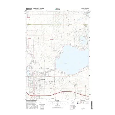
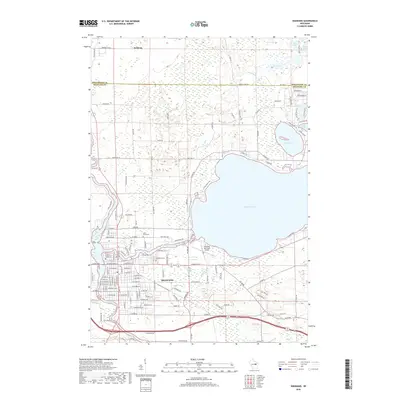
Editions of this 1984 Shawano Map
2 editions found

Historical Maps of Green Bay Through Time
9 maps found