2022 Map of Shawnee
USGS Topo · Published 2022About this map
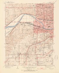
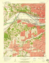
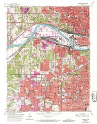
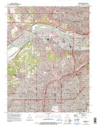
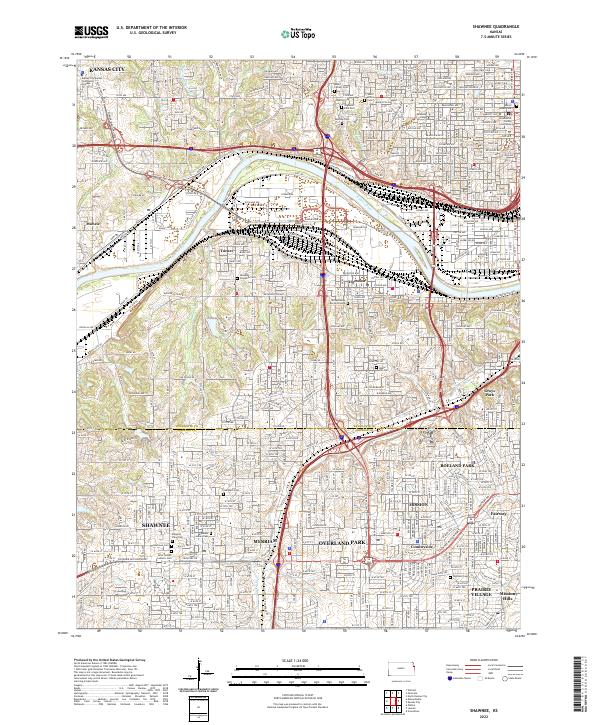
The Kansas River carves a winding path through the heart of the Kansas City metropolitan area, serving as a historic divider between industrial riverfronts and expanding suburban neighborhoods. This landscape is dense with sites of genealogical and cultural significance, particularly the many burial grounds that reflect the region's diverse heritage, such as the Huron Indian Cem, the Tensquatawa Burial Ground, and the Shawnee Indian Cem. The proximity of these sites to modern hubs like Donnelly College and the Wyandotte County Courthouse illustrates the layering of history in the urban core.
Find a feature on this map
49 named features on this map. Tap any name to fly to it.
Don’t see what you’re looking for? This feature index may not catch every label — zoom into the map to look around manually.
Map Details
Editions of this 2022 Shawnee Map
This is the sole edition of this map. No revisions or reprints were ever made.
Historical Maps of Fairway Through Time
6 maps found